Area Overview for TS13 4PT
Photos of TS13 4PT
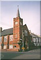
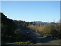
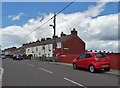
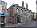
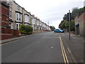
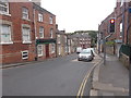
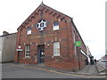
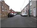
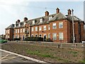
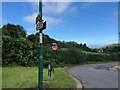
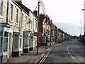
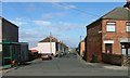
29 photos from this area
Area Information
Key information about the TS13 4PT including its size, population, and administrative classification.
- Area Type
- Postcode
- Area Size
- 9830 m²
- Population
- 1404
- Population Density
- 2294 people/km²
House Prices in TS13 4PT
24
Properties
£109,291
Average Sold Price
£46,000
Lowest Price
£165,000
Highest Price
Showing 24 properties
| Address | Type | Beds | Baths | Last Sale Price | Last Sale Date | |
|---|---|---|---|---|---|---|
| 175 Coronation Road, Loftus, TS13 4PT | house | - | - | £119,000 | Nov 2024 | |
| 163 Coronation Road, Loftus, TS13 4PT | Semi-detached | 3 | 1 | £151,200 | Apr 2024 | |
| 157 Coronation Road, Loftus, TS13 4PT | house | - | - | £165,000 | Jun 2023 | |
| 147 Coronation Road, Loftus, TS13 4PT | house | - | - | £123,000 | Sep 2021 | |
| 155 Coronation Road, Loftus, TS13 4PT | Semi-detached | 3 | 1 | £125,000 | Sep 2021 | |
| 165 Coronation Road, Loftus, TS13 4PT | Semi-detached | 3 | 1 | £144,000 | Nov 2020 | |
| 167 Coronation Road, Loftus, TS13 4PT | house | - | - | £105,000 | Apr 2019 | |
| 173 Coronation Road, Loftus, TS13 4PT | house | 3 | 1 | £127,000 | Mar 2016 | |
| 149 Coronation Road, Loftus, TS13 4PT | house | - | - | £140,000 | Dec 2015 | |
| 161 Coronation Road, Loftus, TS13 4PT | house | - | - | £128,000 | Apr 2006 |
Page 1 of 3
Energy Efficiency in TS13 4PT
Amenities
Schools
| Rank | School | Type | Entry gender | Ages |
|---|
Explore more schools in this area
Go to Schools tabDemographics
Household Size
One person
most common
Accommodation Type
Houses
most common
Tenure
64
majority
Ethnic Group
White
most common
Religion
N/A
most common
Household Composition
N/A
most common
Age
47
median
Adults (30-64 years)
most common
Household Deprivation
N/A
with no deprivation
NS-SEC
19
in Lower managerial occupations
Explore more demographic insights in this area
Go to Demographics tabPlanning
Planning Constraints
- Flood RiskPremium
- Ramsar Wetland SitesPremium
- Area of Outstanding Natural BeautyPremium
- Protected Nature ReservePremium
- Protected WoodlandPremium