Area Overview for TS13 4PS
Photos of TS13 4PS
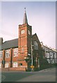
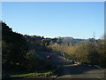
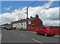
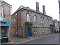
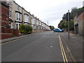
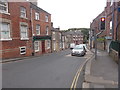
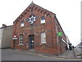
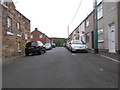
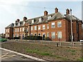
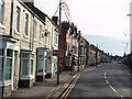
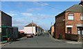
29 photos from this area
Area Information
Key information about the TS13 4PS including its size, population, and administrative classification.
- Area Type
- Postcode
- Area Size
- 5156 m²
- Population
- 1404
- Population Density
- 2294 people/km²
House Prices in TS13 4PS
16
Properties
£107,813
Average Sold Price
£52,000
Lowest Price
£142,000
Highest Price
Showing 16 properties
| Address | Type | Beds | Baths | Last Sale Price | Last Sale Date | |
|---|---|---|---|---|---|---|
| 82 Coronation Road, Loftus, TS13 4PS | Semi-detached | 3 | 1 | £142,000 | Oct 2022 | |
| 86 Coronation Road, Loftus, TS13 4PS | Semi-detached | 3 | 1 | £113,000 | Dec 2019 | |
| 80 Coronation Road, Loftus, TS13 4PS | house | - | - | £114,000 | Nov 2019 | |
| 76 Coronation Road, Loftus, TS13 4PS | Semi-detached | 3 | 2 | £92,500 | Sep 2019 | |
| 88 Coronation Road, Loftus, TS13 4PS | Semi-detached | 3 | 1 | £134,000 | Sep 2015 | |
| 94 Coronation Road, Loftus, TS13 4PS | Semi-detached | 3 | 1 | £115,000 | May 2014 | |
| 90 Coronation Road, Loftus, TS13 4PS | Semi-detached | 3 | - | £100,000 | Jul 2013 | |
| 68 Coronation Road, Loftus, TS13 4PS | Semi-detached | 3 | - | £52,000 | Aug 1995 | |
| 78 Coronation Road, Loftus, TS13 4PS | Semi-detached | 3 | 1 | - | - | |
| 72 Coronation Road, Loftus, TS13 4PS | Terraced | - | - | - | - |
Page 1 of 2
Energy Efficiency in TS13 4PS
Amenities
Schools
| Rank | School | Type | Entry gender | Ages |
|---|
Explore more schools in this area
Go to Schools tabDemographics
Household Size
One person
most common
Accommodation Type
Houses
most common
Tenure
64
majority
Ethnic Group
White
most common
Religion
N/A
most common
Household Composition
N/A
most common
Age
47
median
Adults (30-64 years)
most common
Household Deprivation
N/A
with no deprivation
NS-SEC
19
in Lower managerial occupations
Explore more demographic insights in this area
Go to Demographics tabPlanning
Planning Constraints
- Flood RiskPremium
- Ramsar Wetland SitesPremium
- Area of Outstanding Natural BeautyPremium
- Protected Nature ReservePremium
- Protected WoodlandPremium