Area Overview for TS10 3JU
Photos of TS10 3JU
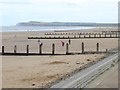
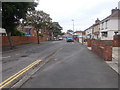
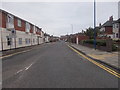
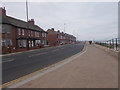
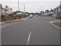
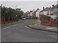
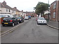
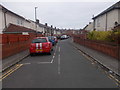
81 photos from this area
Area Information
Key information about the TS10 3JU including its size, population, and administrative classification.
- Area Type
- Postcode
- Area Size
- 1978 m²
- Population
- 1402
- Population Density
- 5117 people/km²
House Prices in TS10 3JU
8
Properties
£85,399
Average Sold Price
£42,000
Lowest Price
£114,000
Highest Price
Showing 8 properties
| Address | Type | Beds | Baths | Last Sale Price | Last Sale Date | |
|---|---|---|---|---|---|---|
| 8 Hazel Grove, Redcar, TS10 3JU | Bungalow | - | - | £100,000 | Jul 2019 | |
| 6 Hazel Grove, Redcar, TS10 3JU | Bungalow | - | - | £114,000 | Apr 2017 | |
| 3 Hazel Grove, Redcar, TS10 3JU | Bungalow | - | - | £80,000 | May 2016 | |
| 2 Hazel Grove, Redcar, TS10 3JU | Bungalow | 2 | 1 | £95,000 | May 2015 | |
| 4 Hazel Grove, Redcar, TS10 3JU | Bungalow | - | - | £90,795 | Dec 2011 | |
| 5 Hazel Grove, Redcar, TS10 3JU | Bungalow | - | - | £76,000 | Mar 2011 | |
| 1 Hazel Grove, Redcar, TS10 3JU | Semi-detached | - | - | £42,000 | Aug 2001 | |
| 7 Hazel Grove, Redcar, TS10 3JU | Bungalow | - | - | - | - |
Energy Efficiency in TS10 3JU
Amenities
Schools
| Rank | School | Type | Entry gender | Ages |
|---|
Explore more schools in this area
Go to Schools tabDemographics
Household Size
Two person
most common
Accommodation Type
Houses
most common
Tenure
71
majority
Ethnic Group
White
most common
Religion
N/A
most common
Household Composition
N/A
most common
Age
47
median
Adults (30-64 years)
most common
Household Deprivation
N/A
with no deprivation
NS-SEC
23
in Lower managerial occupations
Explore more demographic insights in this area
Go to Demographics tabPlanning
Planning Constraints
- Flood RiskPremium
- Ramsar Wetland SitesPremium
- Area of Outstanding Natural BeautyPremium
- Protected Nature ReservePremium
- Protected WoodlandPremium