Area Overview for SR3 2SL
Photos of SR3 2SL
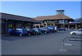
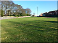

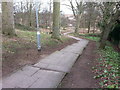
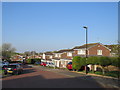
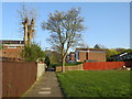
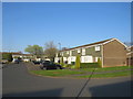
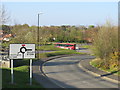
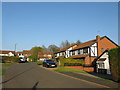
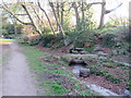
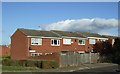

18 photos from this area
Area Information
Key information about the SR3 2SL including its size, population, and administrative classification.
- Area Type
- Postcode
- Area Size
- 2.0 hectares
- Population
- 1248
- Population Density
- 63536 people/km²
House Prices in SR3 2SL
26
Properties
£183,230
Average Sold Price
£74,000
Lowest Price
£269,995
Highest Price
Showing 26 properties
| Address | Type | Beds | Baths | Last Sale Price | Last Sale Date | |
|---|---|---|---|---|---|---|
| 22 Chantry Close, Chapelgarth, Sunderland, SR3 2SL | Bungalow | 3 | 1 | £249,995 | Feb 2025 | |
| 4 Chantry Close, Chapelgarth, Sunderland, SR3 2SL | Detached | 4 | 2 | £260,000 | May 2024 | |
| 3 Chantry Close, Chapelgarth, Sunderland, SR3 2SL | Detached | 4 | 1 | £269,995 | Aug 2022 | |
| 1 Chantry Close, Chapelgarth, Sunderland, SR3 2SL | Retail | 4 | 1 | £252,000 | May 2022 | |
| 9 Chantry Close, Chapelgarth, Sunderland, SR3 2SL | house | - | - | £230,000 | Mar 2021 | |
| 30 Chantry Close, Chapelgarth, Sunderland, SR3 2SL | house | - | - | £215,000 | Jun 2019 | |
| 12 Chantry Close, Chapelgarth, Sunderland, SR3 2SL | Detached | 4 | 1 | £178,000 | Feb 2016 | |
| 7 Chantry Close, Chapelgarth, Sunderland, SR3 2SL | Detached | 3 | - | £150,000 | Sep 2015 | |
| 20 Chantry Close, Chapelgarth, Sunderland, SR3 2SL | Bungalow | 2 | - | £157,000 | Oct 2012 | |
| 5 Chantry Close, Chapelgarth, Sunderland, SR3 2SL | Detached | - | - | £125,000 | Jul 2003 |
Page 1 of 3
Energy Efficiency in SR3 2SL
Amenities
Schools
| Rank | School | Type | Entry gender | Ages |
|---|
Explore more schools in this area
Go to Schools tabDemographics
Household Size
N/A
most common
Accommodation Type
N/A
most common
Tenure
N/A
majority
Ethnic Group
N/A
most common
Religion
N/A
most common
Household Composition
N/A
most common
Age
N/A
median
N/A
most common
Household Deprivation
N/A
with no deprivation
NS-SEC
N/A
in Lower managerial occupations
Explore more demographic insights in this area
Go to Demographics tabPlanning
Planning Constraints
- Flood RiskPremium
- Ramsar Wetland SitesPremium
- Area of Outstanding Natural BeautyPremium
- Protected Nature ReservePremium
- Protected WoodlandPremium