Area Overview for SR3 2RT
Photos of SR3 2RT
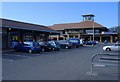
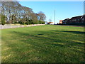

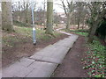
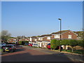
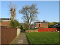
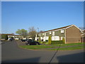
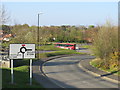
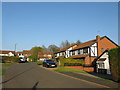
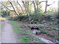
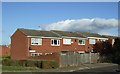
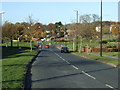
18 photos from this area
Area Information
Key information about the SR3 2RT including its size, population, and administrative classification.
- Area Type
- Postcode
- Area Size
- 5555 m²
- Population
- 1248
- Population Density
- 1599 people/km²
House Prices in SR3 2RT
36
Properties
£51,767
Average Sold Price
£9,900
Lowest Price
£67,500
Highest Price
Showing 36 properties
| Address | Type | Beds | Baths | Last Sale Price | Last Sale Date | |
|---|---|---|---|---|---|---|
| 16 Lofthill, East Moorside, Sunderland, SR3 2RT | Flat | 1 | - | £55,000 | Oct 2024 | |
| 28 Lofthill, East Moorside, Sunderland, SR3 2RT | Flat | 1 | 1 | £45,000 | Jun 2024 | |
| 12 Lofthill, East Moorside, Sunderland, SR3 2RT | Flat | - | - | £67,500 | May 2018 | |
| 35 Lofthill, East Moorside, Sunderland, SR3 2RT | Flat | 2 | 1 | £50,000 | Mar 2016 | |
| 32 Lofthill, East Moorside, Sunderland, SR3 2RT | Flat | - | - | £60,000 | Jan 2016 | |
| 4 Lofthill, East Moorside, Sunderland, SR3 2RT | Flat | - | - | £64,000 | Aug 2015 | |
| 37 Lofthill, East Moorside, Sunderland, SR3 2RT | Flat | - | - | £62,000 | Mar 2012 | |
| 25 Lofthill, East Moorside, Sunderland, SR3 2RT | Flat | - | - | £52,500 | Jul 2003 | |
| 33 Lofthill, East Moorside, Sunderland, SR3 2RT | Flat | - | - | £9,900 | Jan 1995 | |
| 9 Lofthill, East Moorside, Sunderland, SR3 2RT | Flat | - | - | - | - |
Page 1 of 4
Energy Efficiency in SR3 2RT
Amenities
Schools
| Rank | School | Type | Entry gender | Ages |
|---|
Explore more schools in this area
Go to Schools tabDemographics
Household Size
Two person
most common
Accommodation Type
Houses
most common
Tenure
74
majority
Ethnic Group
White
most common
Religion
N/A
most common
Household Composition
N/A
most common
Age
47
median
Adults (30-64 years)
most common
Household Deprivation
N/A
with no deprivation
NS-SEC
31
in Lower managerial occupations
Explore more demographic insights in this area
Go to Demographics tabPlanning
Planning Constraints
- Flood RiskPremium
- Ramsar Wetland SitesPremium
- Area of Outstanding Natural BeautyPremium
- Protected Nature ReservePremium
- Protected WoodlandPremium