Area Overview for SR2 9BQ
Photos of SR2 9BQ
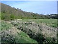
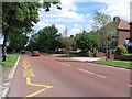
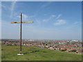
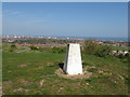
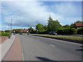
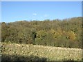
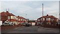
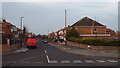
18 photos from this area
Area Information
Key information about the SR2 9BQ including its size, population, and administrative classification.
- Area Type
- Postcode
- Area Size
- 6738 m²
- Population
- 1372
- Population Density
- 4569 people/km²
House Prices in SR2 9BQ
10
Properties
£189,429
Average Sold Price
£4,000
Lowest Price
£290,000
Highest Price
Showing 10 properties
| Address | Type | Beds | Baths | Last Sale Price | Last Sale Date | |
|---|---|---|---|---|---|---|
| 144 Tunstall Road, Sunderland, SR2 9BQ | Detached | 4 | 2 | £4,000 | May 2019 | |
| 150 Tunstall Road, Sunderland, SR2 9BQ | house | - | - | £177,000 | May 2017 | |
| 136 Tunstall Road, Sunderland, SR2 9BQ | house | - | - | £275,000 | Jul 2016 | |
| 140 Tunstall Road, Sunderland, SR2 9BQ | house | - | - | £290,000 | Nov 2012 | |
| 146 Tunstall Road, Sunderland, SR2 9BQ | house | 4 | - | £200,000 | Feb 2011 | |
| 142 Tunstall Road, Sunderland, SR2 9BQ | house | - | - | £245,000 | Aug 2009 | |
| 152 Tunstall Road, Sunderland, SR2 9BQ | Semi-detached | 3 | 1 | £135,000 | Sep 2002 | |
| 148 Tunstall Road, Sunderland, SR2 9BQ | Terraced | - | - | - | - | |
| 154 Tunstall Road, Sunderland, SR2 9BQ | Semi-detached | - | - | - | - | |
| 138 Tunstall Road, Sunderland, SR2 9BQ | Semi-detached | - | - | - | - |
Energy Efficiency in SR2 9BQ
Amenities
Schools
| Rank | School | Type | Entry gender | Ages |
|---|
Explore more schools in this area
Go to Schools tabDemographics
Household Size
Two person
most common
Accommodation Type
Houses
most common
Tenure
88
majority
Ethnic Group
White
most common
Religion
N/A
most common
Household Composition
N/A
most common
Age
47
median
Adults (30-64 years)
most common
Household Deprivation
N/A
with no deprivation
NS-SEC
46
in Lower managerial occupations
Explore more demographic insights in this area
Go to Demographics tabPlanning
Planning Constraints
- Flood RiskPremium
- Ramsar Wetland SitesPremium
- Area of Outstanding Natural BeautyPremium
- Protected Nature ReservePremium
- Protected WoodlandPremium