Area Overview for NE65 8UY
Photos of NE65 8UY
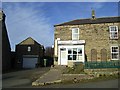
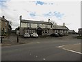
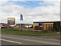
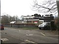
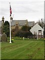
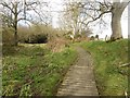
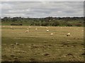
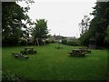
48 photos from this area
Area Information
Key information about the NE65 8UY including its size, population, and administrative classification.
- Area Type
- Postcode
- Area Size
- 29.8 hectares
- Population
- 1680
- Population Density
- 23 people/km²
House Prices in NE65 8UY
21
Properties
£374,106
Average Sold Price
£82,950
Lowest Price
£638,000
Highest Price
Showing 21 properties
| Address | Type | Beds | Baths | Last Sale Price | Last Sale Date | |
|---|---|---|---|---|---|---|
| Old School Cottage, West Road, Longhorsley, NE65 8UY | Bungalow | - | - | £435,000 | Jun 2025 | |
| Greystones, West Road, Longhorsley, NE65 8UY | Bungalow | - | - | £570,000 | Feb 2024 | |
| The Paddock, West Road, Longhorsley, NE65 8UY | house | - | - | £638,000 | Aug 2020 | |
| Meadow View, West Road, Longhorsley, NE65 8UY | Bungalow | 4 | - | £462,000 | Feb 2020 | |
| Freestones, West Road, Longhorsley, NE65 8UY | Detached | 4 | 3 | £330,000 | Aug 2018 | |
| Fellside, West Road, Longhorsley, NE65 8UY | Bungalow | 2 | - | £215,000 | Mar 2017 | |
| West House, West Road, Longhorsley, NE65 8UY | Detached | - | - | £522,000 | Nov 2007 | |
| Westfield, West Road, Longhorsley, NE65 8UY | Bungalow | - | - | £112,000 | Oct 1996 | |
| South Cottage, West Road, Longhorsley, NE65 8UY | Detached | - | - | £82,950 | Sep 1995 | |
| Akenside, West Road, Longhorsley, NE65 8UY | Semi-detached | 3 | 2 | - | - |
Page 1 of 3
Energy Efficiency in NE65 8UY
Amenities
Schools
| Rank | School | Type | Entry gender | Ages |
|---|
Explore more schools in this area
Go to Schools tabDemographics
Household Size
Two person
most common
Accommodation Type
Houses
most common
Tenure
80
majority
Ethnic Group
White
most common
Religion
N/A
most common
Household Composition
N/A
most common
Age
47
median
Adults (30-64 years)
most common
Household Deprivation
N/A
with no deprivation
NS-SEC
47
in Lower managerial occupations
Explore more demographic insights in this area
Go to Demographics tabPlanning
Planning Constraints
- Flood RiskPremium
- Ramsar Wetland SitesPremium
- Area of Outstanding Natural BeautyPremium
- Protected Nature ReservePremium
- Protected WoodlandPremium