Area Overview for NE65 0UW
Photos of NE65 0UW
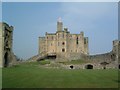
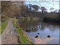
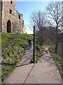
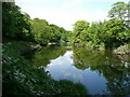
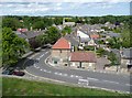
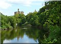
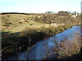
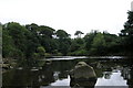
100 photos from this area
Area Information
Key information about the NE65 0UW including its size, population, and administrative classification.
- Area Type
- Postcode
- Area Size
- 7.3 hectares
- Population
- 2335
- Population Density
- 60 people/km²
House Prices in NE65 0UW
22
Properties
£323,445
Average Sold Price
£69,950
Lowest Price
£700,000
Highest Price
Showing 22 properties
| Address | Type | Beds | Baths | Last Sale Price | Last Sale Date | |
|---|---|---|---|---|---|---|
| Westhill House, 4A Castle Street, Warkworth, NE65 0UW | Terraced | - | - | £602,500 | Aug 2022 | |
| 4 Castle Street, Warkworth, NE65 0UW | Retail | 3 | - | £700,000 | Apr 2022 | |
| 20 Castle Street, Warkworth, NE65 0UW | house | 4 | 2 | £565,000 | Jun 2020 | |
| 1 Castle Street, Warkworth, NE65 0UW | house | 4 | - | £375,000 | Feb 2011 | |
| Appen Cottage, 5A Castle Street, Warkworth, NE65 0UW | Terraced | - | - | £290,000 | Sep 2005 | |
| 14 Castle Street, Warkworth, NE65 0UW | Terraced | - | - | £175,000 | Jul 2002 | |
| 6 Castle Street, Warkworth, NE65 0UW | Terraced | 2 | 2 | £135,000 | Dec 2000 | |
| 2 Castle Street, Warkworth, NE65 0UW | Terraced | 3 | 2 | £160,000 | Dec 1999 | |
| 7 Castle Street, Warkworth, NE65 0UW | Terraced | - | - | £69,950 | Sep 1997 | |
| 10 Castle Street, Warkworth, NE65 0UW | Semi-detached | 3 | - | £162,000 | Sep 1996 |
Page 1 of 3
Energy Efficiency in NE65 0UW
Amenities
Schools
| Rank | School | Type | Entry gender | Ages |
|---|
Explore more schools in this area
Go to Schools tabDemographics
Household Size
N/A
most common
Accommodation Type
N/A
most common
Tenure
N/A
majority
Ethnic Group
N/A
most common
Religion
N/A
most common
Household Composition
N/A
most common
Age
N/A
median
N/A
most common
Household Deprivation
N/A
with no deprivation
NS-SEC
N/A
in Lower managerial occupations
Explore more demographic insights in this area
Go to Demographics tabPlanning
Planning Constraints
- Flood RiskPremium
- Ramsar Wetland SitesPremium
- Area of Outstanding Natural BeautyPremium
- Protected Nature ReservePremium
- Protected WoodlandPremium