Area Overview for NE65 0UL
Photos of NE65 0UL
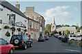
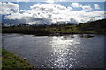
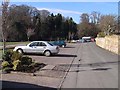
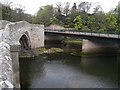
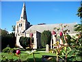
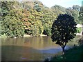
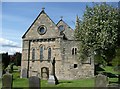
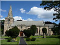
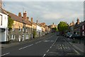
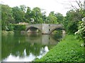
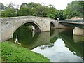
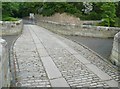
100 photos from this area
Area Information
Key information about the NE65 0UL including its size, population, and administrative classification.
- Area Type
- Postcode
- Area Size
- 5117 m²
- Population
- 2335
- Population Density
- 60 people/km²
House Prices in NE65 0UL
9
Properties
£375,667
Average Sold Price
£160,000
Lowest Price
£547,000
Highest Price
Showing 9 properties
| Address | Type | Beds | Baths | Last Sale Price | Last Sale Date | |
|---|---|---|---|---|---|---|
| 28 Castle Street, Warkworth, NE65 0UL | Terraced | 4 | - | £547,000 | Jan 2022 | |
| The Old Post Office, 32 Castle Street, Warkworth, NE65 0UL | house | - | - | £420,000 | Nov 2019 | |
| Ember Cottage, Castle Street, Warkworth, NE65 0UL | house | - | - | £160,000 | Jul 2007 | |
| 31 Castle Street, Warkworth, NE65 0UL | Terraced | 2 | 1 | - | - | |
| 26 Castle Street, Warkworth, NE65 0UL | Terraced | 3 | 1 | - | - | |
| 25 Castle Street, Warkworth, NE65 0UL | Terraced | 3 | - | - | - | |
| Flat, The Hermitage Inn, 23 Castle Street, Warkworth, NE65 0UL | Flat | - | - | - | - | |
| 30 Castle Street, Warkworth, NE65 0UL | Terraced | - | - | - | - | |
| The Hermitage Inn, 23 Castle Street, Warkworth, NE65 0UL | restaurant_cafe | - | - | - | - |
Energy Efficiency in NE65 0UL
Amenities
Schools
| Rank | School | Type | Entry gender | Ages |
|---|
Explore more schools in this area
Go to Schools tabDemographics
Household Size
N/A
most common
Accommodation Type
N/A
most common
Tenure
N/A
majority
Ethnic Group
N/A
most common
Religion
N/A
most common
Household Composition
N/A
most common
Age
N/A
median
N/A
most common
Household Deprivation
N/A
with no deprivation
NS-SEC
N/A
in Lower managerial occupations
Explore more demographic insights in this area
Go to Demographics tabPlanning
Planning Constraints
- Flood RiskPremium
- Ramsar Wetland SitesPremium
- Area of Outstanding Natural BeautyPremium
- Protected Nature ReservePremium
- Protected WoodlandPremium