Area Overview for NE61 1QL
Photos of NE61 1QL
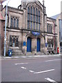
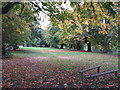
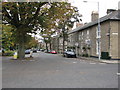
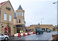
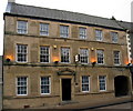
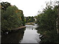
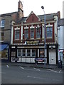
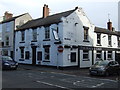

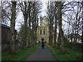
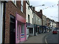
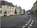
100 photos from this area
Area Information
Key information about the NE61 1QL including its size, population, and administrative classification.
- Area Type
- Postcode
- Area Size
- 3.1 hectares
- Population
- 1454
- Population Density
- 2679 people/km²
House Prices in NE61 1QL
5
Properties
£367,500
Average Sold Price
£175,000
Lowest Price
£560,000
Highest Price
Showing 5 properties
| Address | Type | Beds | Baths | Last Sale Price | Last Sale Date | |
|---|---|---|---|---|---|---|
| Woodlea, High Stanners, Morpeth, NE61 1QL | Detached | 4 | 2 | £560,000 | Mar 2025 | |
| Ford Cottage, High Stanners, Morpeth, NE61 1QL | Terraced | 1 | 1 | £175,000 | Oct 2015 | |
| Newminster Cottage B And B, High Stanners, Morpeth, NE61 1QL | Semi-detached | 7 | 6 | - | - | |
| Residential Flat, Wansbeck Riverside Social Club, High Stanners, Morpeth, NE61 1QL | Flat | 1 | - | - | - | |
| Newminster Lodge, High Stanners, Morpeth, NE61 1QL | restaurant_cafe | - | - | - | - |
Energy Efficiency in NE61 1QL
Amenities
Schools
| Rank | School | Type | Entry gender | Ages |
|---|
Explore more schools in this area
Go to Schools tabDemographics
Household Size
One person
most common
Accommodation Type
Houses
most common
Tenure
59
majority
Ethnic Group
White
most common
Religion
N/A
most common
Household Composition
N/A
most common
Age
47
median
Elderly (65+ years)
most common
Household Deprivation
N/A
with no deprivation
NS-SEC
37
in Lower managerial occupations
Explore more demographic insights in this area
Go to Demographics tabPlanning
Planning Constraints
- Flood RiskPremium
- Ramsar Wetland SitesPremium
- Area of Outstanding Natural BeautyPremium
- Protected Nature ReservePremium
- Protected WoodlandPremium