Area Overview for NE46 2HE
Photos of NE46 2HE
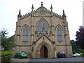
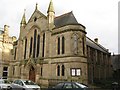
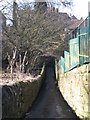
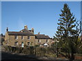
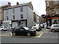
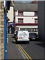
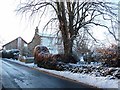
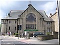
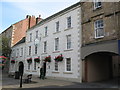
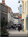
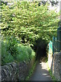
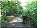
100 photos from this area
Area Information
Key information about the NE46 2HE including its size, population, and administrative classification.
- Area Type
- Postcode
- Area Size
- 5090 m²
- Population
- 1721
- Population Density
- 3700 people/km²
House Prices in NE46 2HE
15
Properties
£247,658
Average Sold Price
£70,000
Lowest Price
£640,000
Highest Price
Showing 15 properties
| Address | Type | Beds | Baths | Last Sale Price | Last Sale Date | |
|---|---|---|---|---|---|---|
| 7 St Hildas Road, Hexham, NE46 2HE | house | 3 | - | £260,000 | May 2021 | |
| 25 St Hildas Road, Hexham, NE46 2HE | house | - | - | £520,000 | Oct 2019 | |
| Eden House, 5 St Hildas Road, Hexham, NE46 2HE | Terraced | 3 | 1 | £228,000 | Jan 2019 | |
| 21 St Hildas Road, Hexham, NE46 2HE | house | - | - | £245,000 | Feb 2017 | |
| 11 St Hildas Road, Hexham, NE46 2HE | Terraced | 4 | - | £198,200 | Jan 2014 | |
| Westgarth, St Hildas Road, Hexham, NE46 2HE | house | 5 | - | £640,000 | Apr 2013 | |
| 17 St Hildas Road, Hexham, NE46 2HE | Terraced | 3 | - | £190,000 | Aug 2010 | |
| 1 St Hildas Road, Hexham, NE46 2HE | house | - | - | £246,000 | May 2008 | |
| 15 St Hildas Road, Hexham, NE46 2HE | Terraced | - | - | £225,000 | Sep 2007 | |
| 9 St Hildas Road, Hexham, NE46 2HE | house | - | - | £220,000 | Oct 2006 |
Page 1 of 2
Energy Efficiency in NE46 2HE
Amenities
Schools
| Rank | School | Type | Entry gender | Ages |
|---|
Explore more schools in this area
Go to Schools tabDemographics
Household Size
One person
most common
Accommodation Type
Houses
most common
Tenure
58
majority
Ethnic Group
White
most common
Religion
N/A
most common
Household Composition
N/A
most common
Age
47
median
Adults (30-64 years)
most common
Household Deprivation
N/A
with no deprivation
NS-SEC
34
in Lower managerial occupations
Explore more demographic insights in this area
Go to Demographics tabPlanning
Planning Constraints
- Flood RiskPremium
- Ramsar Wetland SitesPremium
- Area of Outstanding Natural BeautyPremium
- Protected Nature ReservePremium
- Protected WoodlandPremium