Area Overview for NE46 2EZ
Photos of NE46 2EZ
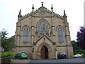
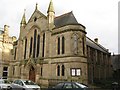
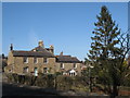
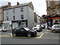
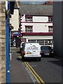
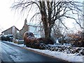
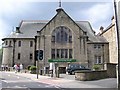
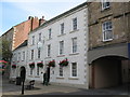
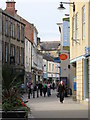
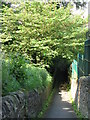
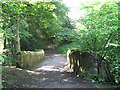
100 photos from this area
Area Information
Key information about the NE46 2EZ including its size, population, and administrative classification.
- Area Type
- Postcode
- Area Size
- 4031 m²
- Population
- 1721
- Population Density
- 426890 people/km²
House Prices in NE46 2EZ
15
Properties
£221,374
Average Sold Price
£65,000
Lowest Price
£300,000
Highest Price
Showing 15 properties
| Address | Type | Beds | Baths | Last Sale Price | Last Sale Date | |
|---|---|---|---|---|---|---|
| 8 St Nicholas Road, Hexham, NE46 2EZ | Terraced | 2 | 1 | £228,000 | Jul 2024 | |
| 7 St Nicholas Road, Hexham, NE46 2EZ | house | 3 | - | £300,000 | Jun 2024 | |
| 15 St Nicholas Road, Hexham, NE46 2EZ | house | - | - | £283,500 | Apr 2023 | |
| 3 St Nicholas Road, Hexham, NE46 2EZ | Terraced | 12 | 2 | £290,000 | Oct 2022 | |
| 2 St Nicholas Road, Hexham, NE46 2EZ | Terraced | 2 | 1 | £207,366 | Oct 2020 | |
| 5 St Nicholas Road, Hexham, NE46 2EZ | house | 3 | - | £240,000 | Aug 2012 | |
| 1 St Nicholas Road, Hexham, NE46 2EZ | Terraced | 4 | 2 | £290,000 | Jun 2012 | |
| 11 St Nicholas Road, Hexham, NE46 2EZ | house | 3 | - | £238,000 | Jun 2011 | |
| 10 St Nicholas Road, Hexham, NE46 2EZ | house | - | - | £227,000 | Aug 2007 | |
| 9 St Nicholas Road, Hexham, NE46 2EZ | Terraced | 2 | 1 | £182,000 | Apr 2006 |
Page 1 of 2
Energy Efficiency in NE46 2EZ
Amenities
Schools
| Rank | School | Type | Entry gender | Ages |
|---|
Explore more schools in this area
Go to Schools tabDemographics
Household Size
One person
most common
Accommodation Type
Houses
most common
Tenure
58
majority
Ethnic Group
White
most common
Religion
N/A
most common
Household Composition
N/A
most common
Age
47
median
Adults (30-64 years)
most common
Household Deprivation
N/A
with no deprivation
NS-SEC
34
in Lower managerial occupations
Explore more demographic insights in this area
Go to Demographics tabPlanning
Planning Constraints
- Flood RiskPremium
- Ramsar Wetland SitesPremium
- Area of Outstanding Natural BeautyPremium
- Protected Nature ReservePremium
- Protected WoodlandPremium