Area Overview for NE32 4AQ
Photos of NE32 4AQ
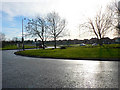
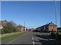
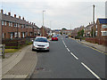
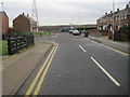
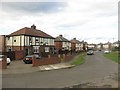
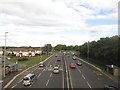
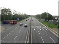
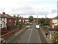
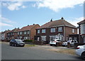
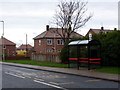
14 photos from this area
Area Information
Key information about the NE32 4AQ including its size, population, and administrative classification.
- Area Type
- Postcode
- Area Size
- 1.9 hectares
- Population
- 1351
- Population Density
- 3676 people/km²
House Prices in NE32 4AQ
7
Properties
£66,875
Average Sold Price
£18,500
Lowest Price
£102,000
Highest Price
Showing 7 properties
| Address | Type | Beds | Baths | Last Sale Price | Last Sale Date | |
|---|---|---|---|---|---|---|
| 2 Inverness Road, Jarrow, NE32 4AQ | community_day_centre | 3 | - | £94,000 | Feb 2011 | |
| 6 Inverness Road, Jarrow, NE32 4AQ | house | - | - | £102,000 | Aug 2008 | |
| 1 Inverness Road, Jarrow, NE32 4AQ | community_day_centre | - | - | £53,000 | Jan 2007 | |
| 4 Inverness Road, Jarrow, NE32 4AQ | Semi-detached | - | - | £18,500 | Jun 2004 | |
| Recycling Point, Perth Green Community Association, Inverness Road, Jarrow, NE32 4AQ | commercial | - | - | - | - | |
| 8 Inverness Road, Jarrow, NE32 4AQ | house | - | - | - | - | |
| 10 Inverness Road, Jarrow, NE32 4AQ | house | - | - | - | - |
Energy Efficiency in NE32 4AQ
Amenities
Schools
| Rank | School | Type | Entry gender | Ages |
|---|
Explore more schools in this area
Go to Schools tabDemographics
Household Size
One person
most common
Accommodation Type
Houses
most common
Tenure
40
majority
Ethnic Group
White
most common
Religion
N/A
most common
Household Composition
N/A
most common
Age
47
median
Adults (30-64 years)
most common
Household Deprivation
N/A
with no deprivation
NS-SEC
18
in Lower managerial occupations
Explore more demographic insights in this area
Go to Demographics tabPlanning
Planning Constraints
- Flood RiskPremium
- Ramsar Wetland SitesPremium
- Area of Outstanding Natural BeautyPremium
- Protected Nature ReservePremium
- Protected WoodlandPremium