Area Overview for NE31 1HU
Photos of NE31 1HU
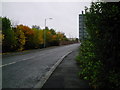
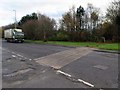
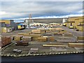
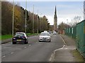
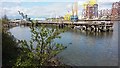


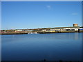
30 photos from this area
Area Information
Key information about the NE31 1HU including its size, population, and administrative classification.
- Area Type
- Postcode
- Area Size
- 1.1 hectares
- Population
- 1232
- Population Density
- 4646 people/km²
House Prices in NE31 1HU
25
Properties
£86,327
Average Sold Price
£12,518
Lowest Price
£128,750
Highest Price
Showing 25 properties
| Address | Type | Beds | Baths | Last Sale Price | Last Sale Date | |
|---|---|---|---|---|---|---|
| 28 St Oswalds, Hebburn, NE31 1HU | Terraced | 3 | 1 | £128,750 | Aug 2025 | |
| 48 St Oswalds, Hebburn, NE31 1HU | Terraced | 3 | 1 | £116,000 | Dec 2024 | |
| 37 St Oswalds, Hebburn, NE31 1HU | Retail | 3 | 2 | £110,000 | Jun 2022 | |
| 29 St Oswalds, Hebburn, NE31 1HU | Terraced | 3 | 1 | £77,000 | Sep 2018 | |
| 40 St Oswalds, Hebburn, NE31 1HU | Maisonette | - | - | £70,250 | Sep 2016 | |
| 30 St Oswalds, Hebburn, NE31 1HU | Terraced | 3 | 1 | £110,000 | Mar 2016 | |
| 38 St Oswalds, Hebburn, NE31 1HU | Semi-detached | 3 | - | £100,000 | Nov 2013 | |
| 42 St Oswalds, Hebburn, NE31 1HU | house | 3 | - | £73,750 | Jan 2012 | |
| 32 St Oswalds, Hebburn, NE31 1HU | Flat | - | - | £65,000 | Mar 2005 | |
| 34 St Oswalds, Hebburn, NE31 1HU | Terraced | - | - | £12,518 | Sep 2003 |
Page 1 of 3
Energy Efficiency in NE31 1HU
Amenities
Schools
| Rank | School | Type | Entry gender | Ages |
|---|
Explore more schools in this area
Go to Schools tabDemographics
Household Size
One person
most common
Accommodation Type
Houses
most common
Tenure
47
majority
Ethnic Group
White
most common
Religion
N/A
most common
Household Composition
N/A
most common
Age
47
median
Adults (30-64 years)
most common
Household Deprivation
N/A
with no deprivation
NS-SEC
20
in Lower managerial occupations
Explore more demographic insights in this area
Go to Demographics tabPlanning
Planning Constraints
- Flood RiskPremium
- Ramsar Wetland SitesPremium
- Area of Outstanding Natural BeautyPremium
- Protected Nature ReservePremium
- Protected WoodlandPremium