Area Overview for NE26 2BH
Photos of NE26 2BH
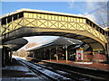
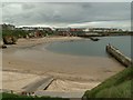
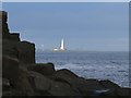
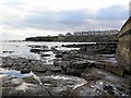
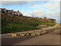
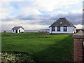
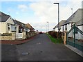
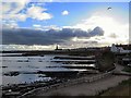
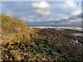
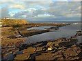
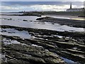
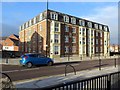
100 photos from this area
Area Information
Key information about the NE26 2BH including its size, population, and administrative classification.
- Area Type
- Postcode
- Area Size
- 7034 m²
- Population
- 1374
- Population Density
- 6834 people/km²
House Prices in NE26 2BH
37
Properties
£207,913
Average Sold Price
£31,500
Lowest Price
£530,000
Highest Price
Showing 37 properties
| Address | Type | Beds | Baths | Last Sale Price | Last Sale Date | |
|---|---|---|---|---|---|---|
| 23 Edwards Road, Whitley Bay, NE26 2BH | Terraced | 4 | 1 | £470,000 | Feb 2024 | |
| 17 Edwards Road, Whitley Bay, NE26 2BH | Terraced | 5 | 3 | £530,000 | Jul 2022 | |
| 27 Edwards Road, Whitley Bay, NE26 2BH | Terraced | 5 | 3 | £390,000 | Dec 2020 | |
| 31 Edwards Road, Whitley Bay, NE26 2BH | house | - | - | £260,000 | Dec 2020 | |
| 5 Edwards Road, Whitley Bay, NE26 2BH | Maisonette | 4 | 1 | £275,000 | Aug 2019 | |
| 11 Edwards Road, Whitley Bay, NE26 2BH | Terraced | 6 | 2 | £275,000 | Dec 2014 | |
| 39 Edwards Road, Whitley Bay, NE26 2BH | Terraced | 6 | 2 | £234,000 | Feb 2013 | |
| 43A Edwards Road, Whitley Bay, NE26 2BH | Flat | - | - | £108,000 | Dec 2012 | |
| 21 Edwards Road, Whitley Bay, NE26 2BH | Terraced | - | - | £188,824 | Oct 2012 | |
| 7 Edwards Road, Whitley Bay, NE26 2BH | house | - | - | £226,000 | May 2012 |
Page 1 of 4
Energy Efficiency in NE26 2BH
Amenities
Schools
| Rank | School | Type | Entry gender | Ages |
|---|
Explore more schools in this area
Go to Schools tabDemographics
Household Size
One person
most common
Accommodation Type
Houses
most common
Tenure
70
majority
Ethnic Group
White
most common
Religion
N/A
most common
Household Composition
N/A
most common
Age
47
median
Adults (30-64 years)
most common
Household Deprivation
N/A
with no deprivation
NS-SEC
43
in Lower managerial occupations
Explore more demographic insights in this area
Go to Demographics tabPlanning
Planning Constraints
- Flood RiskPremium
- Ramsar Wetland SitesPremium
- Area of Outstanding Natural BeautyPremium
- Protected Nature ReservePremium
- Protected WoodlandPremium