Area Overview for NE15 0EB
Photos of NE15 0EB
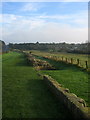


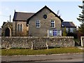
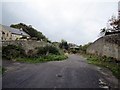
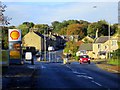
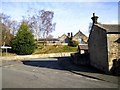
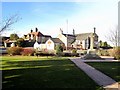
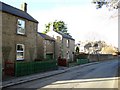
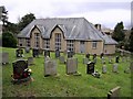
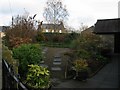
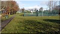
100 photos from this area
Area Information
Key information about the NE15 0EB including its size, population, and administrative classification.
- Area Type
- Postcode
- Area Size
- 9762 m²
- Population
- 1535
- Population Density
- 81 people/km²
House Prices in NE15 0EB
24
Properties
£187,764
Average Sold Price
£15,000
Lowest Price
£290,000
Highest Price
Showing 24 properties
| Address | Type | Beds | Baths | Last Sale Price | Last Sale Date | |
|---|---|---|---|---|---|---|
| 3 Marius Avenue, Heddon On The Wall, NE15 0EB | Bungalow | 2 | 1 | £210,000 | Nov 2024 | |
| 22 Marius Avenue, Heddon On The Wall, NE15 0EB | Semi-detached | 3 | 1 | £275,000 | Sep 2023 | |
| 7 Marius Avenue, Heddon On The Wall, NE15 0EB | Semi-detached | 3 | 1 | £250,000 | Mar 2023 | |
| 20 Marius Avenue, Heddon On The Wall, NE15 0EB | house | - | - | £290,000 | Jan 2023 | |
| 24 Marius Avenue, Heddon On The Wall, NE15 0EB | house | - | - | £230,000 | Aug 2021 | |
| 26 Marius Avenue, Heddon On The Wall, NE15 0EB | house | - | - | £181,500 | Dec 2020 | |
| 19 Marius Avenue, Heddon On The Wall, NE15 0EB | house | - | - | £236,000 | May 2020 | |
| 13 Marius Avenue, Heddon On The Wall, NE15 0EB | Semi-detached | 3 | 1 | £183,000 | Jul 2018 | |
| 17 Marius Avenue, Heddon On The Wall, NE15 0EB | Semi-detached | 4 | 1 | £217,500 | Apr 2018 | |
| 6 Marius Avenue, Heddon On The Wall, NE15 0EB | Semi-detached | 2 | - | £169,995 | Jul 2015 |
Page 1 of 3
Energy Efficiency in NE15 0EB
Amenities
Schools
| Rank | School | Type | Entry gender | Ages |
|---|
Explore more schools in this area
Go to Schools tabDemographics
Household Size
Two person
most common
Accommodation Type
Houses
most common
Tenure
82
majority
Ethnic Group
White
most common
Religion
N/A
most common
Household Composition
N/A
most common
Age
47
median
Adults (30-64 years)
most common
Household Deprivation
N/A
with no deprivation
NS-SEC
44
in Lower managerial occupations
Explore more demographic insights in this area
Go to Demographics tabPlanning
Planning Constraints
- Flood RiskPremium
- Ramsar Wetland SitesPremium
- Area of Outstanding Natural BeautyPremium
- Protected Nature ReservePremium
- Protected WoodlandPremium