Area Overview for NE11 9TQ
Photos of NE11 9TQ
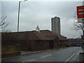
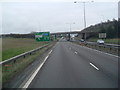
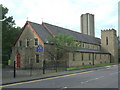
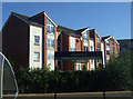
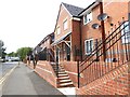
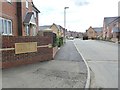
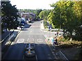

41 photos from this area
Area Information
Key information about the NE11 9TQ including its size, population, and administrative classification.
- Area Type
- Postcode
- Area Size
- 1.9 hectares
- Population
- 1641
- Population Density
- 88265 people/km²
House Prices in NE11 9TQ
32
Properties
£100,989
Average Sold Price
£27,500
Lowest Price
£163,000
Highest Price
Showing 32 properties
| Address | Type | Beds | Baths | Last Sale Price | Last Sale Date | |
|---|---|---|---|---|---|---|
| 236 West Way, Dunston Hill, Gateshead, NE11 9TQ | Flat | 3 | 1 | £78,000 | Mar 2025 | |
| 249 West Way, Dunston Hill, Gateshead, NE11 9TQ | Semi-detached | 3 | 1 | £163,000 | Sep 2024 | |
| 264 West Way, Dunston Hill, Gateshead, NE11 9TQ | Semi-detached | 3 | 1 | £160,000 | Aug 2024 | |
| 237 West Way, Dunston Hill, Gateshead, NE11 9TQ | Flat | 2 | 1 | £57,500 | Apr 2024 | |
| 245 West Way, Dunston Hill, Gateshead, NE11 9TQ | Semi-detached | 3 | - | £122,000 | Mar 2020 | |
| 248 West Way, Dunston Hill, Gateshead, NE11 9TQ | Semi-detached | 3 | 1 | £126,500 | Mar 2016 | |
| 257 West Way, Dunston Hill, Gateshead, NE11 9TQ | house | 2 | 1 | £105,000 | Dec 2015 | |
| 253 West Way, Dunston Hill, Gateshead, NE11 9TQ | Semi-detached | 3 | - | £120,000 | Sep 2015 | |
| 263 West Way, Dunston Hill, Gateshead, NE11 9TQ | house | - | - | £113,500 | May 2014 | |
| 246 West Way, Dunston Hill, Gateshead, NE11 9TQ | Semi-detached | 4 | 1 | £140,000 | Dec 2013 |
Page 1 of 4
Energy Efficiency in NE11 9TQ
Amenities
Schools
| Rank | School | Type | Entry gender | Ages |
|---|
Explore more schools in this area
Go to Schools tabDemographics
Household Size
Two person
most common
Accommodation Type
Houses
most common
Tenure
66
majority
Ethnic Group
White
most common
Religion
N/A
most common
Household Composition
N/A
most common
Age
47
median
Adults (30-64 years)
most common
Household Deprivation
N/A
with no deprivation
NS-SEC
23
in Lower managerial occupations
Explore more demographic insights in this area
Go to Demographics tabPlanning
Planning Constraints
- Flood RiskPremium
- Ramsar Wetland SitesPremium
- Area of Outstanding Natural BeautyPremium
- Protected Nature ReservePremium
- Protected WoodlandPremium