Area Overview for NE11 0YS
Photos of NE11 0YS
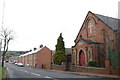
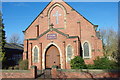
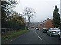
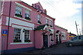
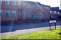
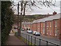
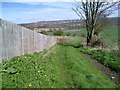
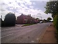
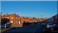
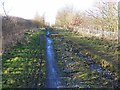
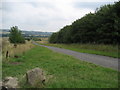
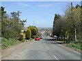
12 photos from this area
Area Information
Key information about the NE11 0YS including its size, population, and administrative classification.
- Area Type
- Postcode
- Area Size
- 1.6 hectares
- Population
- 1795
- Population Density
- 89 people/km²
House Prices in NE11 0YS
47
Properties
£134,380
Average Sold Price
£113,995
Lowest Price
£167,500
Highest Price
Showing 47 properties
| Address | Type | Beds | Baths | Last Sale Price | Last Sale Date | |
|---|---|---|---|---|---|---|
| 14 Coltspool, Kibblesworth, Birtley, NE11 0YS | Semi-detached | 2 | - | £155,000 | May 2023 | |
| 35 Coltspool, Kibblesworth, Birtley, NE11 0YS | house | 2 | 1 | £125,000 | Jun 2022 | |
| 21 Coltspool, Kibblesworth, Birtley, NE11 0YS | house | - | - | £165,000 | Jul 2020 | |
| 45 Coltspool, Kibblesworth, Birtley, NE11 0YS | house | - | - | £167,500 | Oct 2019 | |
| 22 Coltspool, Kibblesworth, Birtley, NE11 0YS | house | - | - | £163,500 | Aug 2019 | |
| 10 Coltspool, Kibblesworth, Birtley, NE11 0YS | house | 2 | - | £144,000 | Feb 2019 | |
| 36 Coltspool, Kibblesworth, Birtley, NE11 0YS | house | - | - | £138,000 | Apr 2014 | |
| 46 Coltspool, Kibblesworth, Birtley, NE11 0YS | house | - | - | £133,000 | Nov 2013 | |
| 19 Coltspool, Kibblesworth, Birtley, NE11 0YS | house | - | - | £145,525 | Jul 2013 | |
| 20 Coltspool, Kibblesworth, Birtley, NE11 0YS | house | - | - | £145,300 | Jul 2013 |
Page 1 of 5
Energy Efficiency in NE11 0YS
Amenities
Schools
| Rank | School | Type | Entry gender | Ages |
|---|
Explore more schools in this area
Go to Schools tabDemographics
Household Size
Two person
most common
Accommodation Type
Houses
most common
Tenure
61
majority
Ethnic Group
White
most common
Religion
N/A
most common
Household Composition
N/A
most common
Age
47
median
Adults (30-64 years)
most common
Household Deprivation
N/A
with no deprivation
NS-SEC
29
in Lower managerial occupations
Explore more demographic insights in this area
Go to Demographics tabPlanning
Planning Constraints
- Flood RiskPremium
- Ramsar Wetland SitesPremium
- Area of Outstanding Natural BeautyPremium
- Protected Nature ReservePremium
- Protected WoodlandPremium