Area Overview for NE11 0YP
Photos of NE11 0YP
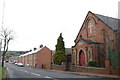
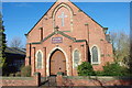
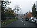
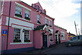
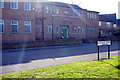
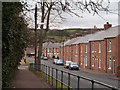
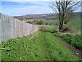
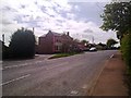
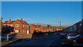
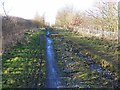
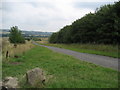
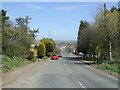
12 photos from this area
Area Information
Key information about the NE11 0YP including its size, population, and administrative classification.
- Area Type
- Postcode
- Area Size
- 4092 m²
- Population
- 1795
- Population Density
- 89 people/km²
House Prices in NE11 0YP
11
Properties
£111,324
Average Sold Price
£66,000
Lowest Price
£158,645
Highest Price
Showing 11 properties
| Address | Type | Beds | Baths | Last Sale Price | Last Sale Date | |
|---|---|---|---|---|---|---|
| 44 Moormill, Kibblesworth, Birtley, NE11 0YP | Terraced | 2 | - | £131,000 | Jan 2023 | |
| 41 Moormill, Kibblesworth, Birtley, NE11 0YP | house | - | - | £110,000 | Aug 2021 | |
| 39 Moormill, Kibblesworth, Birtley, NE11 0YP | Terraced | 2 | 1 | £100,000 | Jan 2019 | |
| 37 Moormill, Kibblesworth, Birtley, NE11 0YP | house | - | - | £130,000 | Nov 2017 | |
| 38 Moormill, Kibblesworth, Birtley, NE11 0YP | house | - | - | £158,645 | May 2013 | |
| 45 Moormill, Kibblesworth, Birtley, NE11 0YP | house | 2 | 1 | £66,000 | Mar 2012 | |
| 46 Moormill, Kibblesworth, Birtley, NE11 0YP | house | - | - | £99,950 | Sep 2006 | |
| 47 Moormill, Kibblesworth, Birtley, NE11 0YP | Detached | - | - | £95,000 | May 2002 | |
| 43 Moormill, Kibblesworth, Birtley, NE11 0YP | house | - | - | - | - | |
| 40 Moormill, Kibblesworth, Birtley, NE11 0YP | house | - | - | - | - |
Page 1 of 2
Energy Efficiency in NE11 0YP
Amenities
Schools
| Rank | School | Type | Entry gender | Ages |
|---|
Explore more schools in this area
Go to Schools tabDemographics
Household Size
Two person
most common
Accommodation Type
Houses
most common
Tenure
61
majority
Ethnic Group
White
most common
Religion
N/A
most common
Household Composition
N/A
most common
Age
47
median
Adults (30-64 years)
most common
Household Deprivation
N/A
with no deprivation
NS-SEC
29
in Lower managerial occupations
Explore more demographic insights in this area
Go to Demographics tabPlanning
Planning Constraints
- Flood RiskPremium
- Ramsar Wetland SitesPremium
- Area of Outstanding Natural BeautyPremium
- Protected Nature ReservePremium
- Protected WoodlandPremium