Area Overview for NE11 0SW
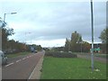
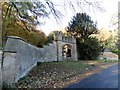
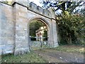
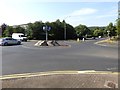
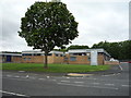
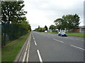
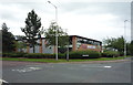
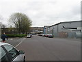
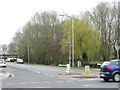
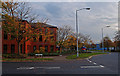
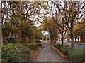
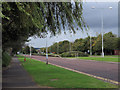
Photos of NE11 0SW
Area Information
NE11 0SW is a small residential postcode area in England, covering just 2.3 hectares and home to 2018 residents. With a population density of 687 people per square kilometre, it is a compact, tightly knit community. The area’s character is defined by its proximity to transport links and retail hubs, making it practical for daily life. Residents benefit from nearby railway stations, including Dunston and Metrocentre, as well as metro stops at Gateshead and Felling. The area’s size means it is not sprawling, but its location offers access to a range of amenities within walking or short driving distance. The demographic profile suggests a mature population, with a median age of 47 and most residents aged 30–64. This suggests a community of established professionals and families, though home ownership is relatively low at 34%, indicating a mix of rental properties. Living here means balancing a small, focused area with the convenience of nearby services and transport options.
- Area Type
- Postcode
- Area Size
- 2.3 hectares
- Population
- 2018
- Population Density
- 687 people/km²
NE11 0SW is a small area with limited housing stock, dominated by houses rather than flats or apartments. With a home ownership rate of 34%, the area is not primarily owner-occupied, suggesting a higher proportion of rental properties. This dynamic may appeal to buyers seeking affordability or flexibility, though the small size of the area means competition for available homes could be intense. The predominance of houses indicates a focus on family-friendly or traditional housing, which may align with the area’s mature demographic. However, the low home ownership rate also highlights that the market is not driven by long-term investment but by rental demand. Buyers should consider the proximity to transport links and amenities, as the area’s compact nature means properties are likely to be close to key services. The limited housing stock also means that any new developments would need to integrate seamlessly with the existing character of the neighbourhood.
House Prices in NE11 0SW
No properties found in this postcode.
Energy Efficiency in NE11 0SW
Daily life in NE11 0SW is shaped by its proximity to retail, dining, and transport hubs. The area has five notable retail spots, including M&S Gateshead Team Valley and Asda Living, offering a mix of shopping and leisure options. Residents can access nearby railway stations such as Dunston and Metrocentre, which connect to larger centres like Newcastle and Sunderland. Metro stops at Gateshead Stadium and Felling provide additional links to sporting and cultural venues. A single bus route via Rhodes Street ensures local mobility. The presence of these amenities means that essentials are within reach, reducing the need for long journeys. The area’s compact size fosters a convenient, self-contained lifestyle, though the limited number of amenities may require trips to nearby towns for more specialised services.
Amenities
Schools
| Rank | School | Type | Entry gender | Ages |
|---|
Explore more schools in this area
Go to Schools tabDemographics
The population of NE11 0SW is predominantly adults aged 30–64, with a median age of 47. This indicates a community of middle-aged residents, likely settled in their careers and family lives. Home ownership is low at 34%, suggesting that many residents rent their properties, which may reflect the area’s affordability or the prevalence of rental stock. The accommodation type is primarily houses, which contrasts with the higher proportion of flats in other urban areas. The predominant ethnic group is White, though specific data on diversity or deprivation is not provided. The age profile and housing stock suggest a stable, long-term community rather than a transient one. However, the low home ownership rate may indicate economic pressures or a focus on rental markets. For prospective buyers, this demographic profile implies a mature market with established residents but limited scope for new housing developments.
Household Size
Accommodation Type
Tenure
Ethnic Group
Religion
Household Composition
Age
Household Deprivation
NS-SEC
Explore more demographic insights in this area
Go to Demographics tabPlanning
Planning Constraints
- Flood RiskPremium
- Ramsar Wetland SitesPremium
- Area of Outstanding Natural BeautyPremium
- Protected Nature ReservePremium
- Protected WoodlandPremium