Area Overview for Lanchester
Photos of Lanchester
Area Information
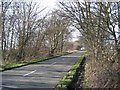
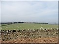
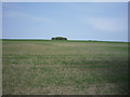
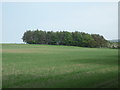
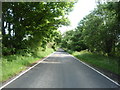
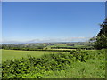
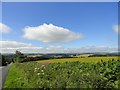
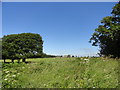
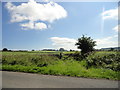
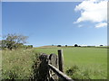
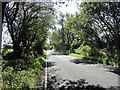
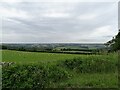
Living in Lanchester means residing in a historic civil parish that spans 40.6 km² within County Durham. This village centre sits approximately 8 miles west of Durham city and 5 miles from Consett. The settlement originated as the Roman fort of Longovicium on Dere Street, built around AD 140 to house up to 1,000 troops. Today, the landscape reflects this deep heritage, blending medieval ecclesiastical sites with former industrial elements. All Saints Church stands as a landmark, constructed starting in 1143 using Roman stone, while the former workhouse site on Newbiggin Road now serves as the local library and police station. Daily life in this rural setting is shaped by its location along the valley floor. The parish encompassing the Green offers a slower pace compared to larger towns. Major roads nearby include the A691, providing links to the A1(M) motorway. For longer journeys, Durham station offers services to Newcastle and London. You can reach Durham in roughly 10 to 15 minutes by drive. The area's character remains rooted in its past, featuring Victorian terraces near the old railway line and stone cottages that evoke the parish's medieval importance. Your address here connects you to a community defined by Roman foundations and centuries of local administration.
- Area Type
- Parish
- Area Size
- 40.6 km²
- Population
- Not available
- Population Density
- Not available
Demographics
The community in Lanchester is distinct for its settled nature, reflected in a median age of 70 years. This statistic indicates that the population skews significantly towards older residents. You are likely to encounter fewer teenagers in schools near Lanchester compared to more youthful suburbs. Home ownership stands at 83%, meaning the vast majority of houses in Lanchester belong to their occupants. This high level of stability suggests a neighbourhood where families and long-term residents take pride in their properties. Accommodation types and household compositions vary, but the lack of prime-age residents influences the demographic profile. The area contains no specific data on predominant ethnic groups or religious breakdowns in the provided profile. While specific household breakdowns are noted as total figures without itemised splits, the age concentration remains the defining feature. A median age of 70 implies that newer developments with younger families are less common than established homes occupied by retirees. This demographic reality affects local services and social activity patterns. The location remains a quiet, mature environment suited for those seeking retirement communities or semi-rural living.
Household Size
Accommodation Type
Tenure
Ethnic Group
Religion
Household Composition
Age
Household Deprivation
NS-SEC
Explore more demographic insights in this area
Go to Demographics tabPlanning
Planning Constraints
- Flood RiskPremium
- Ramsar Wetland SitesPremium
- Area of Outstanding Natural BeautyPremium
- Protected Nature ReservePremium
- Protected WoodlandPremium