Area Overview for Durham
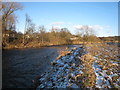
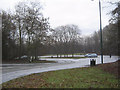
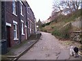
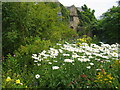
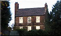
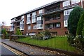
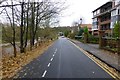
Photos of Durham


Area Information
Durham is a small but established built-up area covering 14.7 square kilometres. With a population of 2,622 residents, the community maintains a relatively intimate scale compared to larger neighbouring towns. You will find the environment calm and residential, with a population density averaging 178 people per square kilometre. This density suggests houses that are typically close to one another without the overwhelming congestion found in major cities. Living in Durham offers a sense of established stability rather than rapid urban expansion. The area functions as a self-contained neighbourhood where daily life moves at a moderate pace. Residents here benefit from a compact footprint, meaning many essentials are within a short walk. This layout suits those who prefer a quiet domestic setting over the bustle of a metropolitan centre. The character of the place is defined by its residential nature and proximity to local services.
- Area Type
- Ceremonial Counties Region
- Area Size
- 14.7 km²
- Population
- 2622
- Population Density
- 178 people/km²
Demographics
The community in Durham reflects a mature demographic profile. The median age stands at 70 years, indicating that this is an area largely inhabited by older adults. This age structure typically influences local spending habits and leisure preferences. Home ownership is the dominant form of tenure, with 65 per cent of households owning their property outright. This high level of ownership suggests a community with deep local roots and long-term residents. The remaining households are likely tenants or shared-ownership occupants, contributing to the stability of the local estate. Data on household composition, predominant ethnic groups, and religion is not detailed in the available records. However, the high home ownership rate points toward an environment attractive for retirement or later-life living. The area provides a setting where financial security in housing is the norm rather than the exception.