Area Overview for DH2 1JU
Photos of DH2 1JU

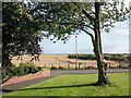
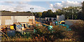
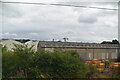
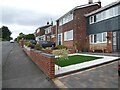
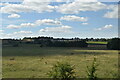
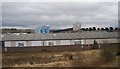
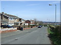
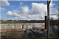
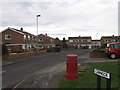

14 photos from this area
Area Information
Key information about the DH2 1JU including its size, population, and administrative classification.
- Area Type
- Postcode
- Area Size
- 6224 m²
- Population
- 1330
- Population Density
- 626 people/km²
House Prices in DH2 1JU
18
Properties
£146,545
Average Sold Price
£48,000
Lowest Price
£207,500
Highest Price
Showing 18 properties
| Address | Type | Beds | Baths | Last Sale Price | Last Sale Date | |
|---|---|---|---|---|---|---|
| 88 Cromarty, Ouston, DH2 1JU | house | - | - | £207,500 | Jul 2025 | |
| 99 Cromarty, Ouston, DH2 1JU | Semi-detached | 3 | 1 | £159,000 | Jun 2025 | |
| 101 Cromarty, Ouston, DH2 1JU | house | - | - | £165,000 | Oct 2022 | |
| 97 Cromarty, Ouston, DH2 1JU | house | - | - | £178,500 | Feb 2019 | |
| 98 Cromarty, Ouston, DH2 1JU | Detached | 3 | 1 | £182,500 | Jul 2017 | |
| 92 Cromarty, Ouston, DH2 1JU | house | - | - | £100,000 | Jun 2011 | |
| 90 Cromarty, Ouston, DH2 1JU | Semi-detached | - | - | £154,000 | Dec 2009 | |
| 93 Cromarty, Ouston, DH2 1JU | Bungalow | 2 | - | £192,000 | Nov 2006 | |
| 103 Cromarty, Ouston, DH2 1JU | Detached | - | - | £160,000 | Sep 2003 | |
| 95 Cromarty, Ouston, DH2 1JU | Detached | - | - | £65,500 | Aug 1999 |
Page 1 of 2
Energy Efficiency in DH2 1JU
Amenities
Schools
| Rank | School | Type | Entry gender | Ages |
|---|
Explore more schools in this area
Go to Schools tabDemographics
Household Size
Two person
most common
Accommodation Type
Houses
most common
Tenure
92
majority
Ethnic Group
White
most common
Religion
N/A
most common
Household Composition
N/A
most common
Age
47
median
Adults (30-64 years)
most common
Household Deprivation
N/A
with no deprivation
NS-SEC
35
in Lower managerial occupations
Explore more demographic insights in this area
Go to Demographics tabPlanning
Planning Constraints
- Flood RiskPremium
- Ramsar Wetland SitesPremium
- Area of Outstanding Natural BeautyPremium
- Protected Nature ReservePremium
- Protected WoodlandPremium