Area Overview for DH2 1ED
Photos of DH2 1ED
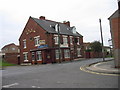

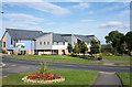
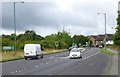

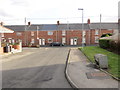
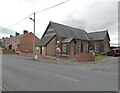
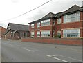
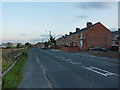
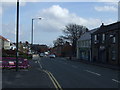

25 photos from this area
Area Information
Key information about the DH2 1ED including its size, population, and administrative classification.
- Area Type
- Postcode
- Area Size
- 5281 m²
- Population
- 1625
- Population Density
- 307701 people/km²
House Prices in DH2 1ED
52
Properties
£46,509
Average Sold Price
£22,500
Lowest Price
£77,500
Highest Price
Showing 52 properties
| Address | Type | Beds | Baths | Last Sale Price | Last Sale Date | |
|---|---|---|---|---|---|---|
| 17 Orchard Street, Pelton, DH2 1ED | Terraced | 2 | 1 | £60,000 | Jul 2025 | |
| 20 Orchard Street, Pelton, DH2 1ED | Terraced | 2 | 1 | £68,500 | Feb 2025 | |
| 42 Orchard Street, Pelton, DH2 1ED | Terraced | 2 | - | £55,000 | Dec 2023 | |
| 45 Orchard Street, Pelton, DH2 1ED | Terraced | 2 | 1 | £72,500 | Aug 2023 | |
| 36 Orchard Street, Pelton, DH2 1ED | Terraced | 2 | - | £43,000 | Jun 2023 | |
| 29 Orchard Street, Pelton, DH2 1ED | Terraced | 2 | 1 | £42,500 | Mar 2023 | |
| 27 Orchard Street, Pelton, DH2 1ED | Terraced | 3 | 1 | £57,000 | Nov 2022 | |
| 34 Orchard Street, Pelton, DH2 1ED | house | - | - | £58,000 | Sep 2021 | |
| 9 Orchard Street, Pelton, DH2 1ED | Terraced | 2 | 1 | £62,000 | Jul 2021 | |
| 47 Orchard Street, Pelton, DH2 1ED | Terraced | 2 | 1 | £62,000 | May 2021 |
Page 1 of 6
Energy Efficiency in DH2 1ED
Amenities
Schools
| Rank | School | Type | Entry gender | Ages |
|---|
Explore more schools in this area
Go to Schools tabDemographics
Household Size
N/A
most common
Accommodation Type
N/A
most common
Tenure
N/A
majority
Ethnic Group
N/A
most common
Religion
N/A
most common
Household Composition
N/A
most common
Age
N/A
median
N/A
most common
Household Deprivation
N/A
with no deprivation
NS-SEC
N/A
in Lower managerial occupations
Explore more demographic insights in this area
Go to Demographics tabPlanning
Planning Constraints
- Flood RiskPremium
- Ramsar Wetland SitesPremium
- Area of Outstanding Natural BeautyPremium
- Protected Nature ReservePremium
- Protected WoodlandPremium