Area Overview for W7 1BL
Photos of W7 1BL

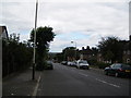
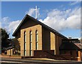
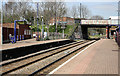
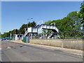
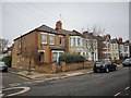
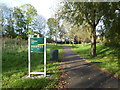
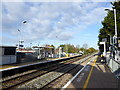
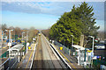
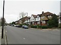
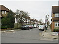
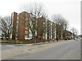
48 photos from this area
Area Information
Key information about the W7 1BL including its size, population, and administrative classification.
- Area Type
- Postcode
- Area Size
- 1.6 hectares
- Population
- 1781
- Population Density
- 6834 people/km²
House Prices in W7 1BL
44
Properties
£264,295
Average Sold Price
£22,200
Lowest Price
£512,500
Highest Price
Showing 44 properties
| Address | Type | Beds | Baths | Last Sale Price | Last Sale Date | |
|---|---|---|---|---|---|---|
| 47 Laurie Road, Hanwell, W7 1BL | Terraced | 3 | 1 | £512,500 | Jun 2025 | |
| 17 Laurie Road, Hanwell, W7 1BL | Terraced | 3 | 1 | £500,000 | May 2025 | |
| 46 Laurie Road, Hanwell, W7 1BL | Maisonette | - | - | £360,000 | Oct 2023 | |
| 54 Laurie Road, Hanwell, W7 1BL | Flat | - | - | £270,000 | Sep 2022 | |
| 18 Laurie Road, Hanwell, W7 1BL | Semi-detached | 5 | 2 | £480,000 | Jun 2021 | |
| 37 Laurie Road, Hanwell, W7 1BL | house | - | - | £415,000 | Jul 2017 | |
| 34 Laurie Road, Hanwell, W7 1BL | Flat | - | - | £268,000 | Mar 2016 | |
| 64 Laurie Road, Hanwell, W7 1BL | Terraced | 5 | 2 | £400,000 | Feb 2016 | |
| 48 Laurie Road, Hanwell, W7 1BL | Flat | 1 | - | £269,000 | Nov 2015 | |
| 58 Laurie Road, Hanwell, W7 1BL | Flat | - | - | £185,000 | Apr 2013 |
Page 1 of 5
Energy Efficiency in W7 1BL
Amenities
Schools
| Rank | School | Type | Entry gender | Ages |
|---|
Explore more schools in this area
Go to Schools tabDemographics
Household Size
Family (3-5 people)
most common
Accommodation Type
Flats
most common
Tenure
36
majority
Ethnic Group
White
most common
Religion
N/A
most common
Household Composition
N/A
most common
Age
47
median
Adults (30-64 years)
most common
Household Deprivation
N/A
with no deprivation
NS-SEC
24
in Lower managerial occupations
Explore more demographic insights in this area
Go to Demographics tabPlanning
Planning Constraints
- Flood RiskPremium
- Ramsar Wetland SitesPremium
- Area of Outstanding Natural BeautyPremium
- Protected Nature ReservePremium
- Protected WoodlandPremium