Area Overview for W7 1AG
Photos of W7 1AG
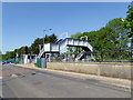
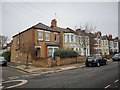
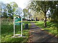
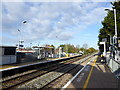
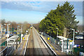
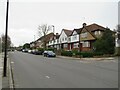
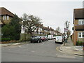
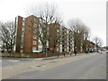
48 photos from this area
Area Information
Key information about the W7 1AG including its size, population, and administrative classification.
- Area Type
- Postcode
- Area Size
- 6277 m²
- Population
- 1769
- Population Density
- 8297 people/km²
House Prices in W7 1AG
17
Properties
£296,869
Average Sold Price
£174,950
Lowest Price
£435,000
Highest Price
Showing 17 properties
| Address | Type | Beds | Baths | Last Sale Price | Last Sale Date | |
|---|---|---|---|---|---|---|
| 31 Bordars Road, Hanwell, W7 1AG | Flat | 2 | 1 | £345,000 | Jan 2025 | |
| 13 Bordars Road, Hanwell, W7 1AG | Terraced | 2 | 1 | £435,000 | Apr 2023 | |
| 21 Bordars Road, Hanwell, W7 1AG | Terraced | 3 | 2 | £410,000 | Mar 2019 | |
| 1A Bordars Road, Hanwell, W7 1AG | Maisonette | - | - | £320,000 | Dec 2017 | |
| 45 Bordars Road, Hanwell, W7 1AG | house | 2 | - | £270,000 | Dec 2011 | |
| 11 Bordars Road, Hanwell, W7 1AG | house | 2 | 2 | £245,000 | May 2011 | |
| 33 Bordars Road, Hanwell, W7 1AG | Flat | - | - | £175,000 | Aug 2009 | |
| 39 Bordars Road, Hanwell, W7 1AG | Terraced | 2 | 2 | £174,950 | Dec 2002 | |
| 47 Bordars Road, Hanwell, W7 1AG | Terraced | - | - | - | - | |
| Flat At, 3 Bordars Road, Hanwell, W7 1AG | Flat | - | - | - | - |
Page 1 of 2
Energy Efficiency in W7 1AG
Amenities
Schools
| Rank | School | Type | Entry gender | Ages |
|---|
Explore more schools in this area
Go to Schools tabDemographics
Household Size
Family (3-5 people)
most common
Accommodation Type
Houses
most common
Tenure
52
majority
Ethnic Group
White
most common
Religion
N/A
most common
Household Composition
N/A
most common
Age
47
median
Adults (30-64 years)
most common
Household Deprivation
N/A
with no deprivation
NS-SEC
28
in Lower managerial occupations
Explore more demographic insights in this area
Go to Demographics tabPlanning
Planning Constraints
- Flood RiskPremium
- Ramsar Wetland SitesPremium
- Area of Outstanding Natural BeautyPremium
- Protected Nature ReservePremium
- Protected WoodlandPremium