Area Overview for W5 4ST
Photos of W5 4ST
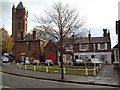
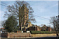
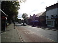
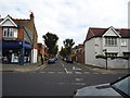
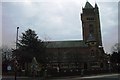
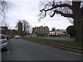
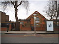
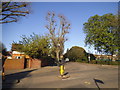
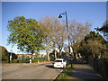
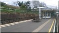
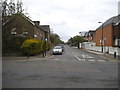
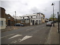
100 photos from this area
Area Information
Key information about the W5 4ST including its size, population, and administrative classification.
- Area Type
- Postcode
- Area Size
- 5804 m²
- Population
- 1615
- Population Density
- 11737 people/km²
House Prices in W5 4ST
34
Properties
£653,071
Average Sold Price
£102,500
Lowest Price
£1,150,000
Highest Price
Showing 34 properties
| Address | Type | Beds | Baths | Last Sale Price | Last Sale Date | |
|---|---|---|---|---|---|---|
| 79 Bramley Road, Ealing, W5 4ST | house | - | - | £914,000 | Aug 2025 | |
| 93 Bramley Road, Ealing, W5 4ST | Terraced | 4 | 2 | £1,150,000 | Feb 2025 | |
| 45 Bramley Road, Ealing, W5 4ST | Terraced | 4 | - | £910,000 | Apr 2024 | |
| 55 Bramley Road, Ealing, W5 4ST | Terraced | 3 | 1 | £708,000 | Mar 2024 | |
| 53 Bramley Road, Ealing, W5 4ST | Terraced | 4 | 2 | £1,045,000 | Aug 2023 | |
| 61 Bramley Road, Ealing, W5 4ST | Retail | 4 | 2 | £905,000 | May 2022 | |
| 89 Bramley Road, Ealing, W5 4ST | house | 3 | 1 | £836,000 | Apr 2022 | |
| 49 Bramley Road, Ealing, W5 4ST | Terraced | 3 | 1 | £750,000 | May 2020 | |
| 69 Bramley Road, Ealing, W5 4ST | Terraced | 5 | 2 | £888,000 | Aug 2018 | |
| 77 Bramley Road, Ealing, W5 4ST | Terraced | 4 | 2 | £950,000 | Nov 2016 |
Page 1 of 4
Energy Efficiency in W5 4ST
Amenities
Schools
| Rank | School | Type | Entry gender | Ages |
|---|
Explore more schools in this area
Go to Schools tabDemographics
Household Size
Family (3-5 people)
most common
Accommodation Type
Houses
most common
Tenure
74
majority
Ethnic Group
White
most common
Religion
N/A
most common
Household Composition
N/A
most common
Age
47
median
Adults (30-64 years)
most common
Household Deprivation
N/A
with no deprivation
NS-SEC
56
in Lower managerial occupations
Explore more demographic insights in this area
Go to Demographics tabPlanning
Planning Constraints
- Flood RiskPremium
- Ramsar Wetland SitesPremium
- Area of Outstanding Natural BeautyPremium
- Protected Nature ReservePremium
- Protected WoodlandPremium