Area Overview for W5 4UB
Photos of W5 4UB
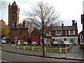
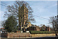
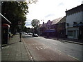
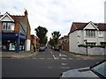
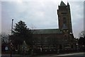
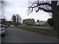
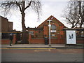
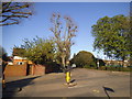
100 photos from this area
Area Information
Key information about the W5 4UB including its size, population, and administrative classification.
- Area Type
- Postcode
- Area Size
- 1.5 hectares
- Population
- 1602
- Population Density
- 4755 people/km²
House Prices in W5 4UB
33
Properties
£407,750
Average Sold Price
£124,000
Lowest Price
£670,000
Highest Price
Showing 33 properties
| Address | Type | Beds | Baths | Last Sale Price | Last Sale Date | |
|---|---|---|---|---|---|---|
| 302 Northfield Avenue, Ealing, W5 4UB | Terraced | 1 | 1 | £620,000 | May 2013 | |
| 284A Northfield Avenue, Ealing, W5 4UB | Flat | - | - | £670,000 | Aug 2008 | |
| 294 Northfield Avenue, Ealing, W5 4UB | Terraced | - | - | £217,000 | Jul 1999 | |
| 290 Northfield Avenue, Ealing, W5 4UB | Flat | 3 | 1 | £124,000 | Jan 1997 | |
| Flat B, 296 Northfield Avenue, Ealing, W5 4UB | Flat | 3 | 1 | - | - | |
| Flat A, 300 Northfield Avenue, Ealing, W5 4UB | Flat | 2 | 2 | - | - | |
| Ground Floor, 264 Northfield Avenue, Ealing, W5 4UB | Flat | 6 | - | - | - | |
| 292 Northfield Avenue, Ealing, W5 4UB | Terraced | - | - | - | - | |
| Ryans Bar, 282-284 Northfield Avenue, Ealing, W5 4UB | restaurant_cafe | - | - | - | - | |
| 280A Northfield Avenue, Ealing, W5 4UB | Maisonette | 4 | 2 | - | - |
Page 1 of 4
Energy Efficiency in W5 4UB
Amenities
Schools
| Rank | School | Type | Entry gender | Ages |
|---|
Explore more schools in this area
Go to Schools tabDemographics
Household Size
Family (3-5 people)
most common
Accommodation Type
Houses
most common
Tenure
66
majority
Ethnic Group
White
most common
Religion
N/A
most common
Household Composition
N/A
most common
Age
47
median
Adults (30-64 years)
most common
Household Deprivation
N/A
with no deprivation
NS-SEC
54
in Lower managerial occupations
Explore more demographic insights in this area
Go to Demographics tabPlanning
Planning Constraints
- Flood RiskPremium
- Ramsar Wetland SitesPremium
- Area of Outstanding Natural BeautyPremium
- Protected Nature ReservePremium
- Protected WoodlandPremium