Area Overview for W5 4SP
Photos of W5 4SP
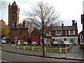
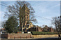
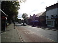
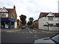
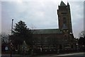
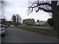

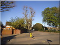
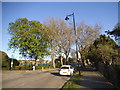

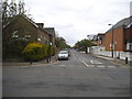
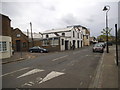
100 photos from this area
Area Information
Key information about the W5 4SP including its size, population, and administrative classification.
- Area Type
- Postcode
- Area Size
- 1.2 hectares
- Population
- 1615
- Population Density
- 11737 people/km²
House Prices in W5 4SP
58
Properties
£551,862
Average Sold Price
£138,250
Lowest Price
£1,086,000
Highest Price
Showing 58 properties
| Address | Type | Beds | Baths | Last Sale Price | Last Sale Date | |
|---|---|---|---|---|---|---|
| 44 Netherbury Road, Ealing, W5 4SP | Terraced | 3 | 1 | £891,000 | Nov 2024 | |
| 29 Netherbury Road, Ealing, W5 4SP | Terraced | 3 | 2 | £890,000 | Jul 2024 | |
| 9 Netherbury Road, Ealing, W5 4SP | Terraced | 4 | 2 | £1,086,000 | May 2024 | |
| 60 Netherbury Road, Ealing, W5 4SP | house | 3 | 1 | £875,000 | May 2023 | |
| 43 Netherbury Road, Ealing, W5 4SP | Terraced | 4 | 2 | £775,000 | Nov 2022 | |
| 22 Netherbury Road, Ealing, W5 4SP | Terraced | 4 | 2 | £980,000 | Jul 2022 | |
| 15 Netherbury Road, Ealing, W5 4SP | house | 4 | 2 | £975,000 | May 2022 | |
| 5 Netherbury Road, Ealing, W5 4SP | house | - | - | £900,000 | Mar 2021 | |
| 53 Netherbury Road, Ealing, W5 4SP | house | - | - | £760,000 | Mar 2021 | |
| 35 Netherbury Road, Ealing, W5 4SP | Terraced | 3 | 1 | £795,000 | Apr 2020 |
Page 1 of 6
Energy Efficiency in W5 4SP
Amenities
Schools
| Rank | School | Type | Entry gender | Ages |
|---|
Explore more schools in this area
Go to Schools tabDemographics
Household Size
Family (3-5 people)
most common
Accommodation Type
Houses
most common
Tenure
74
majority
Ethnic Group
White
most common
Religion
N/A
most common
Household Composition
N/A
most common
Age
47
median
Adults (30-64 years)
most common
Household Deprivation
N/A
with no deprivation
NS-SEC
56
in Lower managerial occupations
Explore more demographic insights in this area
Go to Demographics tabPlanning
Planning Constraints
- Flood RiskPremium
- Ramsar Wetland SitesPremium
- Area of Outstanding Natural BeautyPremium
- Protected Nature ReservePremium
- Protected WoodlandPremium