Area Overview for W5 4SH
Photos of W5 4SH
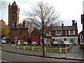
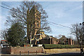
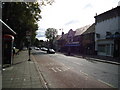
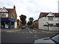

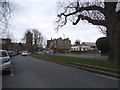
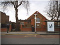
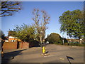
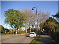
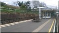
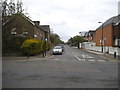
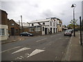
100 photos from this area
Area Information
Key information about the W5 4SH including its size, population, and administrative classification.
- Area Type
- Postcode
- Area Size
- 5988 m²
- Population
- 1615
- Population Density
- 11737 people/km²
House Prices in W5 4SH
31
Properties
£410,463
Average Sold Price
£100,000
Lowest Price
£822,500
Highest Price
Showing 31 properties
| Address | Type | Beds | Baths | Last Sale Price | Last Sale Date | |
|---|---|---|---|---|---|---|
| 57 Creighton Road, Ealing, W5 4SH | Terraced | 3 | 2 | £797,500 | Jul 2024 | |
| 9 Creighton Road, Ealing, W5 4SH | Terraced | 3 | 1 | £650,000 | Jul 2020 | |
| 7 Creighton Road, Ealing, W5 4SH | house | 4 | 1 | £822,500 | Feb 2020 | |
| 5 Creighton Road, Ealing, W5 4SH | house | - | - | £745,000 | May 2014 | |
| 39 Creighton Road, Ealing, W5 4SH | Terraced | 4 | 2 | £669,950 | Sep 2013 | |
| 61 Creighton Road, Ealing, W5 4SH | Terraced | 4 | 2 | £465,000 | Sep 2012 | |
| 1 Creighton Road, Ealing, W5 4SH | house | 4 | 2 | £567,500 | Sep 2010 | |
| 27 Creighton Road, Ealing, W5 4SH | Terraced | - | - | £380,000 | May 2006 | |
| 41 Creighton Road, Ealing, W5 4SH | Terraced | 4 | 2 | £340,000 | Jul 2002 | |
| 47 Creighton Road, Ealing, W5 4SH | Terraced | 4 | 2 | £249,950 | Dec 1999 |
Page 1 of 4
Energy Efficiency in W5 4SH
Amenities
Schools
| Rank | School | Type | Entry gender | Ages |
|---|
Explore more schools in this area
Go to Schools tabDemographics
Household Size
Family (3-5 people)
most common
Accommodation Type
Houses
most common
Tenure
74
majority
Ethnic Group
White
most common
Religion
N/A
most common
Household Composition
N/A
most common
Age
47
median
Adults (30-64 years)
most common
Household Deprivation
N/A
with no deprivation
NS-SEC
56
in Lower managerial occupations
Explore more demographic insights in this area
Go to Demographics tabPlanning
Planning Constraints
- Flood RiskPremium
- Ramsar Wetland SitesPremium
- Area of Outstanding Natural BeautyPremium
- Protected Nature ReservePremium
- Protected WoodlandPremium