Area Overview for W5 1PD
Photos of W5 1PD
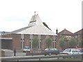
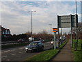
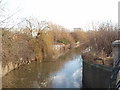
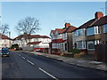
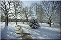
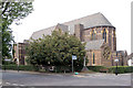
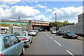
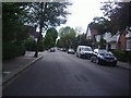
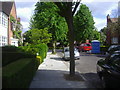
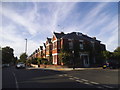

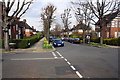
57 photos from this area
Area Information
Key information about the W5 1PD including its size, population, and administrative classification.
- Area Type
- Postcode
- Area Size
- 1.1 hectares
- Population
- 1573
- Population Density
- 5464 people/km²
House Prices in W5 1PD
40
Properties
£533,971
Average Sold Price
£205,000
Lowest Price
£969,950
Highest Price
Showing 40 properties
| Address | Type | Beds | Baths | Last Sale Price | Last Sale Date | |
|---|---|---|---|---|---|---|
| 38 Woodfield Crescent, Ealing, W5 1PD | Detached | 4 | 2 | £969,950 | Sep 2024 | |
| 39 Woodfield Crescent, Ealing, W5 1PD | house | - | - | £899,950 | Jun 2023 | |
| 31 Woodfield Crescent, Ealing, W5 1PD | house | - | - | £855,000 | Dec 2022 | |
| 9 Woodfield Crescent, Ealing, W5 1PD | house | 3 | 1 | £825,000 | Nov 2017 | |
| 26 Woodfield Crescent, Ealing, W5 1PD | house | - | - | £775,000 | Aug 2015 | |
| 35 Woodfield Crescent, Ealing, W5 1PD | house | - | - | £740,000 | Sep 2014 | |
| 10 Woodfield Crescent, Ealing, W5 1PD | Terraced | 2 | 1 | £800,000 | Jul 2014 | |
| 17 Woodfield Crescent, Ealing, W5 1PD | house | - | - | £600,000 | Nov 2012 | |
| 6 Woodfield Crescent, Ealing, W5 1PD | house | 3 | 1 | £550,000 | Oct 2012 | |
| 11 Woodfield Crescent, Ealing, W5 1PD | house | 3 | - | £510,000 | Jan 2012 |
Page 1 of 4
Energy Efficiency in W5 1PD
Amenities
Schools
| Rank | School | Type | Entry gender | Ages |
|---|
Explore more schools in this area
Go to Schools tabDemographics
Household Size
Family (3-5 people)
most common
Accommodation Type
Houses
most common
Tenure
74
majority
Ethnic Group
White
most common
Religion
N/A
most common
Household Composition
N/A
most common
Age
47
median
Adults (30-64 years)
most common
Household Deprivation
N/A
with no deprivation
NS-SEC
58
in Lower managerial occupations
Explore more demographic insights in this area
Go to Demographics tabPlanning
Planning Constraints
- Flood RiskPremium
- Ramsar Wetland SitesPremium
- Area of Outstanding Natural BeautyPremium
- Protected Nature ReservePremium
- Protected WoodlandPremium