Area Overview for W5 1AB
Photos of W5 1AB
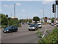
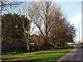
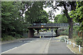
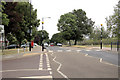
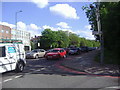
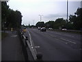
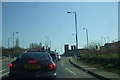
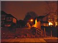
100 photos from this area
Area Information
Key information about the W5 1AB including its size, population, and administrative classification.
- Area Type
- Postcode
- Area Size
- 1.0 hectares
- Population
- 1492
- Population Density
- 5902 people/km²
House Prices in W5 1AB
21
Properties
£723,400
Average Sold Price
£345,000
Lowest Price
£955,000
Highest Price
Showing 21 properties
| Address | Type | Beds | Baths | Last Sale Price | Last Sale Date | |
|---|---|---|---|---|---|---|
| 16 Clarendon Road, Ealing, W5 1AB | Detached | 3 | 1 | £930,000 | Mar 2025 | |
| 22 Clarendon Road, Ealing, W5 1AB | Semi-detached | 3 | 1 | £925,000 | Mar 2025 | |
| 36 Clarendon Road, Ealing, W5 1AB | Semi-detached | 4 | 2 | £955,000 | Jul 2018 | |
| 28 Clarendon Road, Ealing, W5 1AB | Semi-detached | 3 | 1 | £906,000 | Feb 2018 | |
| 14 Clarendon Road, Ealing, W5 1AB | house | 4 | 2 | £862,000 | Feb 2016 | |
| 40 Clarendon Road, Ealing, W5 1AB | house | - | - | £885,000 | May 2012 | |
| 10 Clarendon Road, Ealing, W5 1AB | house | 6 | - | £565,000 | Oct 2010 | |
| 8 Clarendon Road, Ealing, W5 1AB | Semi-detached | - | - | £440,000 | Sep 2004 | |
| 38 Clarendon Road, Ealing, W5 1AB | house | 4 | 1 | £421,000 | Mar 2004 | |
| 30 Clarendon Road, Ealing, W5 1AB | Semi-detached | - | - | £345,000 | Aug 2002 |
Page 1 of 3
Energy Efficiency in W5 1AB
Amenities
Schools
| Rank | School | Type | Entry gender | Ages |
|---|
Explore more schools in this area
Go to Schools tabDemographics
Household Size
Family (3-5 people)
most common
Accommodation Type
Houses
most common
Tenure
84
majority
Ethnic Group
White
most common
Religion
N/A
most common
Household Composition
N/A
most common
Age
47
median
Adults (30-64 years)
most common
Household Deprivation
N/A
with no deprivation
NS-SEC
60
in Lower managerial occupations
Explore more demographic insights in this area
Go to Demographics tabPlanning
Planning Constraints
- Flood RiskPremium
- Ramsar Wetland SitesPremium
- Area of Outstanding Natural BeautyPremium
- Protected Nature ReservePremium
- Protected WoodlandPremium