Area Overview for W3 7YQ
Photos of W3 7YQ
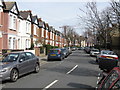
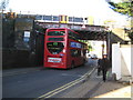
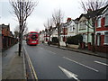
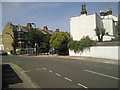
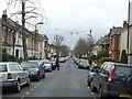
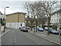
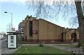
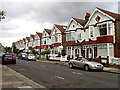
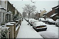
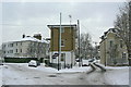
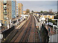
100 photos from this area
Area Information
Key information about the W3 7YQ including its size, population, and administrative classification.
- Area Type
- Postcode
- Area Size
- 9622 m²
- Population
- 1707
- Population Density
- 10978 people/km²
House Prices in W3 7YQ
70
Properties
£167,169
Average Sold Price
£26,500
Lowest Price
£375,000
Highest Price
Showing 70 properties
| Address | Type | Beds | Baths | Last Sale Price | Last Sale Date | |
|---|---|---|---|---|---|---|
| 52 Beardsley Way, Acton, W3 7YQ | Flat | 1 | 1 | £300,000 | Mar 2025 | |
| 53 Beardsley Way, Acton, W3 7YQ | Flat | 2 | 1 | £370,000 | Mar 2025 | |
| 35 Beardsley Way, Acton, W3 7YQ | Flat | 2 | 1 | £260,000 | Feb 2025 | |
| 17 Beardsley Way, Acton, W3 7YQ | Flat | - | - | £242,000 | Sep 2024 | |
| 45 Beardsley Way, Acton, W3 7YQ | Flat | - | - | £300,000 | Oct 2023 | |
| 31 Beardsley Way, Acton, W3 7YQ | Flat | - | - | £250,000 | Jul 2023 | |
| 24 Beardsley Way, Acton, W3 7YQ | Flat | - | - | £200,000 | Oct 2021 | |
| 44 Beardsley Way, Acton, W3 7YQ | Flat | 2 | 1 | £315,000 | Mar 2020 | |
| 1 Beardsley Way, Acton, W3 7YQ | Flat | 2 | 1 | £176,500 | Aug 2019 | |
| 67 Beardsley Way, Acton, W3 7YQ | Flat | - | - | £300,000 | May 2018 |
Page 1 of 7
Energy Efficiency in W3 7YQ
Amenities
Schools
| Rank | School | Type | Entry gender | Ages |
|---|
Explore more schools in this area
Go to Schools tabDemographics
Household Size
One person
most common
Accommodation Type
Flats
most common
Tenure
40
majority
Ethnic Group
White
most common
Religion
N/A
most common
Household Composition
N/A
most common
Age
47
median
Adults (30-64 years)
most common
Household Deprivation
N/A
with no deprivation
NS-SEC
44
in Lower managerial occupations
Explore more demographic insights in this area
Go to Demographics tabPlanning
Planning Constraints
- Flood RiskPremium
- Ramsar Wetland SitesPremium
- Area of Outstanding Natural BeautyPremium
- Protected Nature ReservePremium
- Protected WoodlandPremium