Area Overview for W14 0HU
Photos of W14 0HU

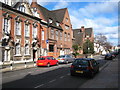
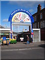
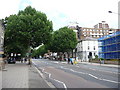
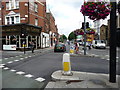
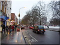
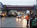
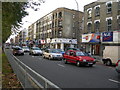
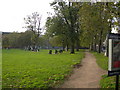
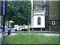
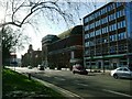
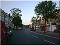
100 photos from this area
Area Information
Key information about the W14 0HU including its size, population, and administrative classification.
- Area Type
- Postcode
- Area Size
- 6442 m²
- Population
- 1645
- Population Density
- 19891 people/km²
House Prices in W14 0HU
59
Properties
£2,176,477
Average Sold Price
£905,000
Lowest Price
£3,500,000
Highest Price
Showing 59 properties
| Address | Type | Beds | Baths | Last Sale Price | Last Sale Date | |
|---|---|---|---|---|---|---|
| 61 Sterndale Road, London, W14 0HU | Terraced | 6 | 4 | £2,810,000 | Mar 2025 | |
| 48 Sterndale Road, London, W14 0HU | house | 5 | 3 | £3,500,000 | Sep 2023 | |
| 69 Sterndale Road, London, W14 0HU | Retail | 5 | 3 | £2,200,000 | May 2022 | |
| 71 Sterndale Road, London, W14 0HU | house | - | - | £2,400,000 | Feb 2022 | |
| 58 Sterndale Road, London, W14 0HU | Flat | - | - | £1,900,000 | Jun 2021 | |
| 42 Sterndale Road, London, W14 0HU | Terraced | 5 | 4 | £3,050,000 | Aug 2020 | |
| 52 Sterndale Road, London, W14 0HU | house | - | - | £2,400,000 | Apr 2017 | |
| 59 Sterndale Road, London, W14 0HU | house | - | - | £2,400,000 | Nov 2016 | |
| 44 Sterndale Road, London, W14 0HU | Terraced | 5 | 3 | £2,425,000 | Sep 2016 | |
| 63 Sterndale Road, London, W14 0HU | Detached | 5 | 4 | £2,700,000 | May 2015 |
Page 1 of 6
Energy Efficiency in W14 0HU
Amenities
Schools
| Rank | School | Type | Entry gender | Ages |
|---|
Explore more schools in this area
Go to Schools tabDemographics
Household Size
One person
most common
Accommodation Type
Flats
most common
Tenure
24
majority
Ethnic Group
White
most common
Religion
N/A
most common
Household Composition
N/A
most common
Age
47
median
Adults (30-64 years)
most common
Household Deprivation
N/A
with no deprivation
NS-SEC
45
in Lower managerial occupations
Explore more demographic insights in this area
Go to Demographics tabPlanning
Planning Constraints
- Flood RiskPremium
- Ramsar Wetland SitesPremium
- Area of Outstanding Natural BeautyPremium
- Protected Nature ReservePremium
- Protected WoodlandPremium