Area Overview for W14 0ES
Photos of W14 0ES
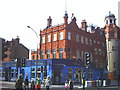
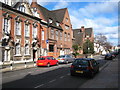
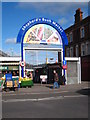
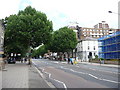
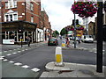
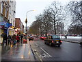

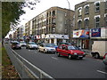
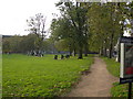
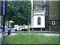
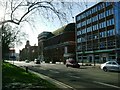
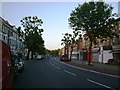
100 photos from this area
Area Information
Key information about the W14 0ES including its size, population, and administrative classification.
- Area Type
- Postcode
- Area Size
- 7014 m²
- Population
- 1465
- Population Density
- 14783 people/km²
House Prices in W14 0ES
33
Properties
£1,946,167
Average Sold Price
£297,500
Lowest Price
£3,550,000
Highest Price
Showing 33 properties
| Address | Type | Beds | Baths | Last Sale Price | Last Sale Date | |
|---|---|---|---|---|---|---|
| 29 Dewhurst Road, London, W14 0ES | Terraced | 4 | 4 | £2,815,000 | May 2025 | |
| 34 Dewhurst Road, London, W14 0ES | house | 5 | 3 | £2,550,000 | Mar 2023 | |
| 50 Dewhurst Road, London, W14 0ES | house | 5 | 5 | £3,425,000 | Jan 2023 | |
| 43 Dewhurst Road, London, W14 0ES | house | - | - | £2,800,000 | May 2021 | |
| 26 Dewhurst Road, London, W14 0ES | house | - | - | £2,100,000 | Sep 2020 | |
| 48 Dewhurst Road, London, W14 0ES | Terraced | 5 | 5 | £2,807,000 | Sep 2019 | |
| 30 Dewhurst Road, London, W14 0ES | house | - | - | £2,350,000 | Jul 2019 | |
| 27 Dewhurst Road, London, W14 0ES | house | - | - | £3,550,000 | Apr 2017 | |
| 32 Dewhurst Road, London, W14 0ES | house | - | - | £2,300,000 | Jan 2017 | |
| 47 Dewhurst Road, London, W14 0ES | house | - | - | £2,105,000 | Nov 2016 |
Page 1 of 4
Energy Efficiency in W14 0ES
Amenities
Schools
| Rank | School | Type | Entry gender | Ages |
|---|
Explore more schools in this area
Go to Schools tabDemographics
Household Size
One person
most common
Accommodation Type
Flats
most common
Tenure
48
majority
Ethnic Group
White
most common
Religion
N/A
most common
Household Composition
N/A
most common
Age
47
median
Adults (30-64 years)
most common
Household Deprivation
N/A
with no deprivation
NS-SEC
59
in Lower managerial occupations
Explore more demographic insights in this area
Go to Demographics tabPlanning
Planning Constraints
- Flood RiskPremium
- Ramsar Wetland SitesPremium
- Area of Outstanding Natural BeautyPremium
- Protected Nature ReservePremium
- Protected WoodlandPremium