Area Overview for UB8 2NH
Photos of UB8 2NH
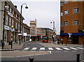
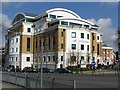
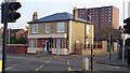
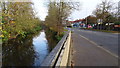
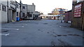
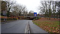
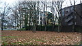
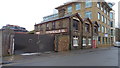
82 photos from this area
Area Information
Key information about the UB8 2NH including its size, population, and administrative classification.
- Area Type
- Postcode
- Area Size
- 5727 m²
- Population
- 2300
- Population Density
- 3944 people/km²
House Prices in UB8 2NH
25
Properties
£365,500
Average Sold Price
£85,000
Lowest Price
£500,000
Highest Price
Showing 25 properties
| Address | Type | Beds | Baths | Last Sale Price | Last Sale Date | |
|---|---|---|---|---|---|---|
| 228 Cowley Road, Uxbridge, UB8 2NH | Semi-detached | 3 | 2 | £500,000 | Sep 2024 | |
| 232 Cowley Road, Uxbridge, UB8 2NH | Detached | 4 | 1 | £480,000 | Oct 2023 | |
| 236 Cowley Road, Uxbridge, UB8 2NH | house | - | - | £495,000 | Nov 2021 | |
| 252 Cowley Road, Uxbridge, UB8 2NH | Semi-detached | 4 | 1 | £425,000 | Oct 2019 | |
| 242 Cowley Road, Uxbridge, UB8 2NH | Semi-detached | 3 | 1 | £445,000 | Nov 2015 | |
| 234 Cowley Road, Uxbridge, UB8 2NH | Semi-detached | 6 | - | £390,000 | Jun 2010 | |
| 250 Cowley Road, Uxbridge, UB8 2NH | Semi-detached | 5 | 2 | £240,000 | Apr 2009 | |
| 224 Cowley Road, Uxbridge, UB8 2NH | Semi-detached | 5 | - | £345,000 | Dec 2007 | |
| 226 Cowley Road, Uxbridge, UB8 2NH | Semi-detached | 5 | 2 | £250,000 | Mar 2007 | |
| 248 Cowley Road, Uxbridge, UB8 2NH | Semi-detached | - | - | £85,000 | Jan 1996 |
Page 1 of 3
Energy Efficiency in UB8 2NH
Amenities
Schools
| Rank | School | Type | Entry gender | Ages |
|---|
Explore more schools in this area
Go to Schools tabDemographics
Household Size
Family (3-5 people)
most common
Accommodation Type
Houses
most common
Tenure
45
majority
Ethnic Group
White
most common
Religion
N/A
most common
Household Composition
N/A
most common
Age
22
median
Young Adults (15-29 years)
most common
Household Deprivation
N/A
with no deprivation
NS-SEC
17
in Lower managerial occupations
Explore more demographic insights in this area
Go to Demographics tabPlanning
Planning Constraints
- Flood RiskPremium
- Ramsar Wetland SitesPremium
- Area of Outstanding Natural BeautyPremium
- Protected Nature ReservePremium
- Protected WoodlandPremium