Area Overview for UB8 2AT
Photos of UB8 2AT
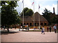
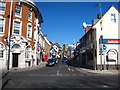
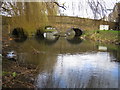
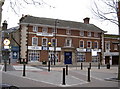
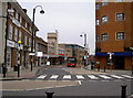
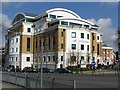
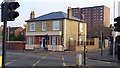
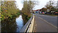
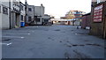
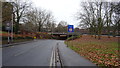
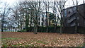
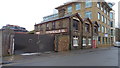
82 photos from this area
Area Information
Key information about the UB8 2AT including its size, population, and administrative classification.
- Area Type
- Postcode
- Area Size
- 1.8 hectares
- Population
- 2300
- Population Density
- 3944 people/km²
House Prices in UB8 2AT
51
Properties
£263,663
Average Sold Price
£59,300
Lowest Price
£435,000
Highest Price
Showing 51 properties
| Address | Type | Beds | Baths | Last Sale Price | Last Sale Date | |
|---|---|---|---|---|---|---|
| 44 Frayslea, Uxbridge, UB8 2AT | Terraced | 2 | 2 | £425,000 | Oct 2025 | |
| 26 Frayslea, Uxbridge, UB8 2AT | Terraced | 2 | 1 | £435,000 | Aug 2025 | |
| 42 Frayslea, Uxbridge, UB8 2AT | Terraced | 2 | 1 | £400,000 | Aug 2024 | |
| 51 Frayslea, Uxbridge, UB8 2AT | Detached | 2 | 1 | £370,000 | Feb 2024 | |
| 5 Frayslea, Uxbridge, UB8 2AT | Terraced | 2 | 1 | £370,000 | Aug 2023 | |
| 1 Frayslea, Uxbridge, UB8 2AT | Terraced | 2 | 1 | £395,000 | Nov 2022 | |
| 33 Frayslea, Uxbridge, UB8 2AT | Flat | 2 | 1 | £350,000 | Oct 2022 | |
| 49 Frayslea, Uxbridge, UB8 2AT | Terraced | 2 | 1 | £385,000 | Aug 2022 | |
| 16 Frayslea, Uxbridge, UB8 2AT | Flat | - | - | £310,000 | Jun 2022 | |
| 32 Frayslea, Uxbridge, UB8 2AT | Terraced | 2 | 1 | £420,000 | Jun 2022 |
Page 1 of 6
Energy Efficiency in UB8 2AT
Amenities
Schools
| Rank | School | Type | Entry gender | Ages |
|---|
Explore more schools in this area
Go to Schools tabDemographics
Household Size
Family (3-5 people)
most common
Accommodation Type
Houses
most common
Tenure
45
majority
Ethnic Group
White
most common
Religion
N/A
most common
Household Composition
N/A
most common
Age
22
median
Young Adults (15-29 years)
most common
Household Deprivation
N/A
with no deprivation
NS-SEC
17
in Lower managerial occupations
Explore more demographic insights in this area
Go to Demographics tabPlanning
Planning Constraints
- Flood RiskPremium
- Ramsar Wetland SitesPremium
- Area of Outstanding Natural BeautyPremium
- Protected Nature ReservePremium
- Protected WoodlandPremium