Area Overview for UB7 9JB
Photos of UB7 9JB
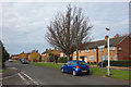
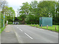
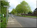
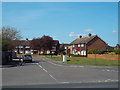
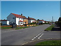
36 photos from this area
Area Information
Key information about the UB7 9JB including its size, population, and administrative classification.
- Area Type
- Postcode
- Area Size
- 6655 m²
- Population
- 1769
- Population Density
- 9180 people/km²
House Prices in UB7 9JB
29
Properties
£256,150
Average Sold Price
£76,500
Lowest Price
£500,000
Highest Price
Showing 29 properties
| Address | Type | Beds | Baths | Last Sale Price | Last Sale Date | |
|---|---|---|---|---|---|---|
| 21 Milton Way, West Drayton, UB7 9JB | Semi-detached | 3 | 1 | £500,000 | Jul 2023 | |
| 9 Milton Way, West Drayton, UB7 9JB | Terraced | 2 | 1 | £385,000 | Jul 2022 | |
| 66 Milton Way, West Drayton, UB7 9JB | house | 3 | 1 | £420,000 | Mar 2021 | |
| 27 Milton Way, West Drayton, UB7 9JB | Terraced | 4 | 2 | £380,000 | Apr 2020 | |
| 17 Milton Way, West Drayton, UB7 9JB | house | 2 | 1 | £194,000 | Jun 2013 | |
| 19 Milton Way, West Drayton, UB7 9JB | house | 3 | - | £200,000 | Aug 2011 | |
| 54 Milton Way, West Drayton, UB7 9JB | house | - | - | £219,000 | Dec 2010 | |
| 3 Milton Way, West Drayton, UB7 9JB | Semi-detached | - | - | £249,950 | Nov 2007 | |
| 7 Milton Way, West Drayton, UB7 9JB | house | - | - | £220,000 | Aug 2005 | |
| 11 Milton Way, West Drayton, UB7 9JB | Semi-detached | - | - | £114,350 | May 2001 |
Page 1 of 3
Energy Efficiency in UB7 9JB
Amenities
Schools
| Rank | School | Type | Entry gender | Ages |
|---|
Explore more schools in this area
Go to Schools tabDemographics
Household Size
Family (3-5 people)
most common
Accommodation Type
Houses
most common
Tenure
37
majority
Ethnic Group
White
most common
Religion
N/A
most common
Household Composition
N/A
most common
Age
47
median
Adults (30-64 years)
most common
Household Deprivation
N/A
with no deprivation
NS-SEC
21
in Lower managerial occupations
Explore more demographic insights in this area
Go to Demographics tabPlanning
Planning Constraints
- Flood RiskPremium
- Ramsar Wetland SitesPremium
- Area of Outstanding Natural BeautyPremium
- Protected Nature ReservePremium
- Protected WoodlandPremium