Area Overview for UB7 8EZ
Photos of UB7 8EZ
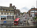
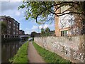
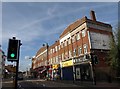
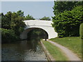
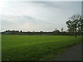
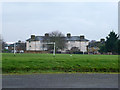
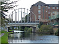
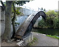
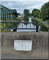
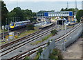
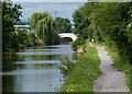
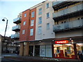
100 photos from this area
Area Information
Key information about the UB7 8EZ including its size, population, and administrative classification.
- Area Type
- Postcode
- Area Size
- 2450 m²
- Population
- 1976
- Population Density
- 11748 people/km²
House Prices in UB7 8EZ
20
Properties
£179,143
Average Sold Price
£64,000
Lowest Price
£330,000
Highest Price
Showing 20 properties
| Address | Type | Beds | Baths | Last Sale Price | Last Sale Date | |
|---|---|---|---|---|---|---|
| 67 Fairfield Road, West Drayton, UB7 8EZ | Flat | - | - | £330,000 | Jun 2021 | |
| 69B Fairfield Road, West Drayton, UB7 8EZ | Flat | - | - | £318,000 | Jul 2014 | |
| 65B Fairfield Road, West Drayton, UB7 8EZ | Flat | - | - | £115,000 | Jan 2011 | |
| 65A Fairfield Road, West Drayton, UB7 8EZ | Flat | 1 | 1 | £115,000 | Jan 2011 | |
| 63 Fairfield Road, West Drayton, UB7 8EZ | Flat | - | - | £197,000 | May 2010 | |
| 61A Fairfield Road, West Drayton, UB7 8EZ | Flat | - | - | £64,000 | Sep 2000 | |
| 69A Fairfield Road, West Drayton, UB7 8EZ | Flat | - | - | £115,000 | Aug 1999 | |
| 63A Fairfield Road, West Drayton, UB7 8EZ | Flat | - | - | - | - | |
| 67A Fairfield Road, West Drayton, UB7 8EZ | Flat | 2 | 1 | - | - | |
| 55A Fairfield Road, West Drayton, UB7 8EZ | Flat | - | - | - | - |
Page 1 of 2
Energy Efficiency in UB7 8EZ
Amenities
Schools
| Rank | School | Type | Entry gender | Ages |
|---|
Explore more schools in this area
Go to Schools tabDemographics
Household Size
Family (3-5 people)
most common
Accommodation Type
Flats
most common
Tenure
22
majority
Ethnic Group
White
most common
Religion
N/A
most common
Household Composition
N/A
most common
Age
47
median
Adults (30-64 years)
most common
Household Deprivation
N/A
with no deprivation
NS-SEC
34
in Lower managerial occupations
Explore more demographic insights in this area
Go to Demographics tabPlanning
Planning Constraints
- Flood RiskPremium
- Ramsar Wetland SitesPremium
- Area of Outstanding Natural BeautyPremium
- Protected Nature ReservePremium
- Protected WoodlandPremium