Area Overview for UB7 7UQ
Photos of UB7 7UQ
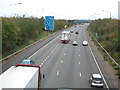
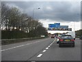
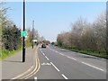
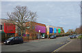
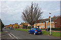
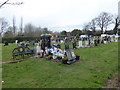
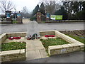
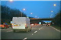
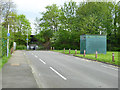
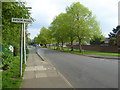
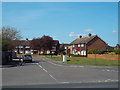
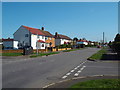
36 photos from this area
Area Information
Key information about the UB7 7UQ including its size, population, and administrative classification.
- Area Type
- Postcode
- Area Size
- 2.5 hectares
- Population
- 1788
- Population Density
- 6664 people/km²
House Prices in UB7 7UQ
66
Properties
£253,445
Average Sold Price
£89,000
Lowest Price
£440,000
Highest Price
Showing 66 properties
| Address | Type | Beds | Baths | Last Sale Price | Last Sale Date | |
|---|---|---|---|---|---|---|
| 25 The Brambles, West Drayton, UB7 7UQ | house | 3 | 1 | £440,000 | Jul 2024 | |
| 21 The Brambles, West Drayton, UB7 7UQ | Terraced | 3 | 1 | £420,000 | Dec 2023 | |
| 5 The Brambles, West Drayton, UB7 7UQ | Retail | 3 | 1 | £420,000 | Jul 2022 | |
| 50 The Brambles, West Drayton, UB7 7UQ | Flat | 3 | 2 | £312,500 | Nov 2021 | |
| 36 The Brambles, West Drayton, UB7 7UQ | Maisonette | - | - | £275,000 | Sep 2019 | |
| 58 The Brambles, West Drayton, UB7 7UQ | Flat | - | - | £180,000 | Jul 2019 | |
| 35 The Brambles, West Drayton, UB7 7UQ | Terraced | 3 | 1 | £370,000 | Mar 2019 | |
| 1 The Brambles, West Drayton, UB7 7UQ | Terraced | 3 | 1 | £375,000 | Apr 2018 | |
| 3 The Brambles, West Drayton, UB7 7UQ | house | 3 | 1 | £365,000 | Jul 2017 | |
| 30 The Brambles, West Drayton, UB7 7UQ | house | - | - | £250,000 | Jan 2016 |
Page 1 of 7
Energy Efficiency in UB7 7UQ
Amenities
Schools
| Rank | School | Type | Entry gender | Ages |
|---|
Explore more schools in this area
Go to Schools tabDemographics
Household Size
Family (3-5 people)
most common
Accommodation Type
Houses
most common
Tenure
39
majority
Ethnic Group
White
most common
Religion
N/A
most common
Household Composition
N/A
most common
Age
47
median
Adults (30-64 years)
most common
Household Deprivation
N/A
with no deprivation
NS-SEC
19
in Lower managerial occupations
Explore more demographic insights in this area
Go to Demographics tabPlanning
Planning Constraints
- Flood RiskPremium
- Ramsar Wetland SitesPremium
- Area of Outstanding Natural BeautyPremium
- Protected Nature ReservePremium
- Protected WoodlandPremium