Area Overview for UB6 8NZ
Photos of UB6 8NZ
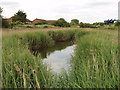


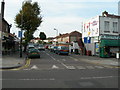
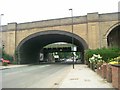

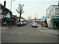
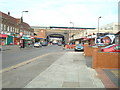
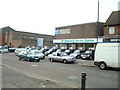
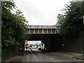
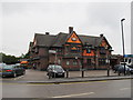
100 photos from this area
Area Information
Key information about the UB6 8NZ including its size, population, and administrative classification.
- Area Type
- Postcode
- Area Size
- 9097 m²
- Population
- 1720
- Population Density
- 3139 people/km²
House Prices in UB6 8NZ
29
Properties
£250,309
Average Sold Price
£65,000
Lowest Price
£590,000
Highest Price
Showing 29 properties
| Address | Type | Beds | Baths | Last Sale Price | Last Sale Date | |
|---|---|---|---|---|---|---|
| 16 Hill Rise, Greenford, UB6 8NZ | Semi-detached | 3 | 1 | £590,000 | Dec 2024 | |
| 7 Hill Rise, Greenford, UB6 8NZ | Terraced | - | - | £300,000 | Dec 2023 | |
| 11 Hill Rise, Greenford, UB6 8NZ | Terraced | - | - | £430,000 | Nov 2018 | |
| 2 Hill Rise, Greenford, UB6 8NZ | Semi-detached | - | - | £320,000 | Dec 2012 | |
| 6 Hill Rise, Greenford, UB6 8NZ | Flat | - | - | £257,000 | Nov 2006 | |
| 27 Hill Rise, Greenford, UB6 8NZ | Terraced | - | - | £249,950 | Sep 2004 | |
| 20 Hill Rise, Greenford, UB6 8NZ | Terraced | - | - | £177,000 | Jul 2002 | |
| 26 Hill Rise, Greenford, UB6 8NZ | Terraced | - | - | £160,500 | Sep 2001 | |
| 28 Hill Rise, Greenford, UB6 8NZ | house | - | - | £129,950 | May 2001 | |
| 24 Hill Rise, Greenford, UB6 8NZ | house | - | - | £65,000 | Apr 1996 |
Page 1 of 3
Energy Efficiency in UB6 8NZ
Amenities
Schools
| Rank | School | Type | Entry gender | Ages |
|---|
Explore more schools in this area
Go to Schools tabDemographics
Household Size
Family (3-5 people)
most common
Accommodation Type
Houses
most common
Tenure
51
majority
Ethnic Group
White
most common
Religion
N/A
most common
Household Composition
N/A
most common
Age
47
median
Adults (30-64 years)
most common
Household Deprivation
N/A
with no deprivation
NS-SEC
27
in Lower managerial occupations
Explore more demographic insights in this area
Go to Demographics tabPlanning
Planning Constraints
- Flood RiskPremium
- Ramsar Wetland SitesPremium
- Area of Outstanding Natural BeautyPremium
- Protected Nature ReservePremium
- Protected WoodlandPremium