Area Overview for UB6 8LT
Photos of UB6 8LT
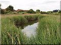


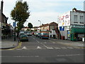
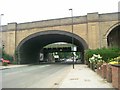

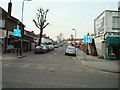
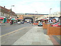
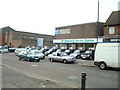
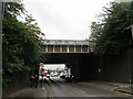
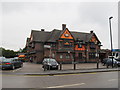
100 photos from this area
Area Information
Key information about the UB6 8LT including its size, population, and administrative classification.
- Area Type
- Postcode
- Area Size
- 5464 m²
- Population
- 1720
- Population Density
- 3139 people/km²
House Prices in UB6 8LT
19
Properties
£318,574
Average Sold Price
£68,000
Lowest Price
£650,000
Highest Price
Showing 19 properties
| Address | Type | Beds | Baths | Last Sale Price | Last Sale Date | |
|---|---|---|---|---|---|---|
| 19 Hillbeck Way, Greenford, UB6 8LT | Terraced | 3 | 2 | £650,000 | Aug 2025 | |
| 6 Hillbeck Way, Greenford, UB6 8LT | Terraced | 3 | 1 | £555,500 | Mar 2022 | |
| 16 Hillbeck Way, Greenford, UB6 8LT | house | - | - | £515,000 | Dec 2021 | |
| 14 Hillbeck Way, Greenford, UB6 8LT | Terraced | 3 | 1 | £460,000 | Dec 2018 | |
| 3 Hillbeck Way, Greenford, UB6 8LT | Terraced | 3 | 1 | £545,500 | Mar 2018 | |
| 3A Hillbeck Way, Greenford, UB6 8LT | Terraced | 2 | 2 | £450,000 | Jun 2017 | |
| 2 Hillbeck Way, Greenford, UB6 8LT | Semi-detached | 4 | 1 | £285,000 | Mar 2007 | |
| 15 Hillbeck Way, Greenford, UB6 8LT | house | - | - | £241,000 | May 2006 | |
| 8 Hillbeck Way, Greenford, UB6 8LT | house | 3 | - | £250,000 | Dec 2004 | |
| 1 Hillbeck Way, Greenford, UB6 8LT | Semi-detached | 1 | - | £157,950 | Jun 2001 |
Page 1 of 2
Energy Efficiency in UB6 8LT
Amenities
Schools
| Rank | School | Type | Entry gender | Ages |
|---|
Explore more schools in this area
Go to Schools tabDemographics
Household Size
Family (3-5 people)
most common
Accommodation Type
Houses
most common
Tenure
51
majority
Ethnic Group
White
most common
Religion
N/A
most common
Household Composition
N/A
most common
Age
47
median
Adults (30-64 years)
most common
Household Deprivation
N/A
with no deprivation
NS-SEC
27
in Lower managerial occupations
Explore more demographic insights in this area
Go to Demographics tabPlanning
Planning Constraints
- Flood RiskPremium
- Ramsar Wetland SitesPremium
- Area of Outstanding Natural BeautyPremium
- Protected Nature ReservePremium
- Protected WoodlandPremium