Area Overview for TW5 0JR
Photos of TW5 0JR
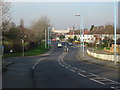
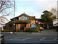
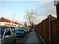
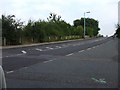
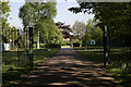
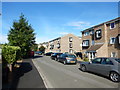
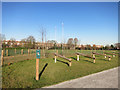


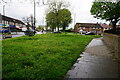
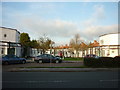
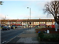
41 photos from this area
Area Information
Key information about the TW5 0JR including its size, population, and administrative classification.
- Area Type
- Postcode
- Area Size
- 6646 m²
- Population
- 2753
- Population Density
- 9059 people/km²
House Prices in TW5 0JR
24
Properties
£267,795
Average Sold Price
£84,500
Lowest Price
£500,000
Highest Price
Showing 24 properties
| Address | Type | Beds | Baths | Last Sale Price | Last Sale Date | |
|---|---|---|---|---|---|---|
| 120 The Crossways, Hounslow, TW5 0JR | Semi-detached | 3 | 2 | £500,000 | Feb 2021 | |
| 134A The Crossways, Hounslow, TW5 0JR | Maisonette | - | - | £285,000 | Dec 2016 | |
| 128 The Crossways, Hounslow, TW5 0JR | Semi-detached | 3 | - | £402,500 | Feb 2015 | |
| 118 The Crossways, Hounslow, TW5 0JR | Semi-detached | - | - | £250,000 | Mar 2014 | |
| 114 The Crossways, Hounslow, TW5 0JR | house | - | - | £321,000 | Oct 2007 | |
| 122 The Crossways, Hounslow, TW5 0JR | Semi-detached | 4 | 2 | £285,000 | Oct 2005 | |
| 112 The Crossways, Hounslow, TW5 0JR | Semi-detached | - | - | £249,950 | Jul 2003 | |
| 132 The Crossways, Hounslow, TW5 0JR | Semi-detached | 3 | 2 | £175,000 | Aug 2001 | |
| 136A The Crossways, Hounslow, TW5 0JR | Maisonette | - | - | £125,000 | Oct 1999 | |
| 108 The Crossways, Hounslow, TW5 0JR | house | 4 | - | £84,500 | Mar 1996 |
Page 1 of 3
Energy Efficiency in TW5 0JR
Amenities
Schools
| Rank | School | Type | Entry gender | Ages |
|---|
Explore more schools in this area
Go to Schools tabDemographics
Household Size
Family (3-5 people)
most common
Accommodation Type
Flats
most common
Tenure
42
majority
Ethnic Group
asian_total
most common
Religion
N/A
most common
Household Composition
N/A
most common
Age
47
median
Adults (30-64 years)
most common
Household Deprivation
N/A
with no deprivation
NS-SEC
26
in Lower managerial occupations
Explore more demographic insights in this area
Go to Demographics tabPlanning
Planning Constraints
- Flood RiskPremium
- Ramsar Wetland SitesPremium
- Area of Outstanding Natural BeautyPremium
- Protected Nature ReservePremium
- Protected WoodlandPremium