Area Overview for TW4 5JW
Photos of TW4 5JW
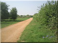
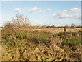
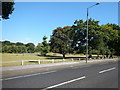
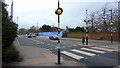
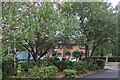
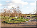
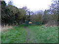
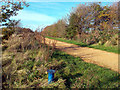
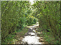
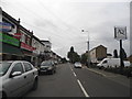
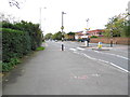
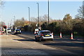
28 photos from this area
Area Information
Key information about the TW4 5JW including its size, population, and administrative classification.
- Area Type
- Postcode
- Area Size
- 2.4 hectares
- Population
- 1909
- Population Density
- 14573 people/km²
House Prices in TW4 5JW
40
Properties
£276,795
Average Sold Price
£108,500
Lowest Price
£425,000
Highest Price
Showing 40 properties
| Address | Type | Beds | Baths | Last Sale Price | Last Sale Date | |
|---|---|---|---|---|---|---|
| 25 Orchard Road, Hounslow, TW4 5JW | Terraced | 3 | 2 | £425,000 | May 2025 | |
| 33 Orchard Road, Hounslow, TW4 5JW | Terraced | 2 | 2 | £400,000 | Sep 2024 | |
| 20 Orchard Road, Hounslow, TW4 5JW | Terraced | 2 | 1 | £417,000 | Jan 2024 | |
| 32A Orchard Road, Hounslow, TW4 5JW | Terraced | 3 | 4 | £365,000 | Oct 2022 | |
| 28 Orchard Road, Hounslow, TW4 5JW | Terraced | 2 | 1 | £407,000 | Jul 2022 | |
| 3 Orchard Road, Hounslow, TW4 5JW | house | - | - | £312,500 | Nov 2018 | |
| 9 Orchard Road, Hounslow, TW4 5JW | Cottage | 2 | 2 | £325,000 | Jul 2018 | |
| 13 Orchard Road, Hounslow, TW4 5JW | house | - | - | £355,000 | Apr 2018 | |
| 31 Orchard Road, Hounslow, TW4 5JW | Terraced | 3 | 2 | £310,000 | Sep 2017 | |
| 21 Orchard Road, Hounslow, TW4 5JW | Terraced | 2 | 1 | £290,000 | Jan 2015 |
Page 1 of 4
Energy Efficiency in TW4 5JW
Amenities
Schools
| Rank | School | Type | Entry gender | Ages |
|---|
Explore more schools in this area
Go to Schools tabDemographics
Household Size
Family (3-5 people)
most common
Accommodation Type
Houses
most common
Tenure
45
majority
Ethnic Group
asian_total
most common
Religion
N/A
most common
Household Composition
N/A
most common
Age
47
median
Adults (30-64 years)
most common
Household Deprivation
N/A
with no deprivation
NS-SEC
21
in Lower managerial occupations
Explore more demographic insights in this area
Go to Demographics tabPlanning
Planning Constraints
- Flood RiskPremium
- Ramsar Wetland SitesPremium
- Area of Outstanding Natural BeautyPremium
- Protected Nature ReservePremium
- Protected WoodlandPremium