Area Overview for TW14 0AX
Photos of TW14 0AX
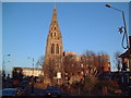
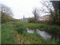
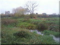
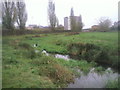
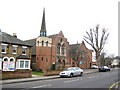
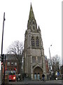
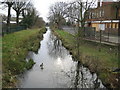
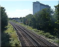

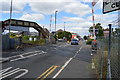
86 photos from this area
Area Information
Key information about the TW14 0AX including its size, population, and administrative classification.
- Area Type
- Postcode
- Area Size
- 1.3 hectares
- Population
- 2311
- Population Density
- 8636 people/km²
House Prices in TW14 0AX
41
Properties
£1,344,795
Average Sold Price
£230,000
Lowest Price
£9,800,000
Highest Price
Showing 41 properties
| Address | Type | Beds | Baths | Last Sale Price | Last Sale Date | |
|---|---|---|---|---|---|---|
| 80 Hounslow Road, Feltham, TW14 0AX | house | - | - | £450,000 | Jul 2022 | |
| 86A Hounslow Road, Feltham, TW14 0AX | Flat | - | - | £9,800,000 | Mar 2021 | |
| 76 Hounslow Road, Feltham, TW14 0AX | Detached | 4 | 1 | £610,000 | Jan 2017 | |
| 70 Hounslow Road, Feltham, TW14 0AX | Detached | 5 | - | £523,000 | Jun 2016 | |
| 98 Hounslow Road, Feltham, TW14 0AX | Semi-detached | 3 | - | £450,000 | Mar 2016 | |
| 120 Hounslow Road, Feltham, TW14 0AX | house | - | - | £499,950 | Mar 2016 | |
| 84 Hounslow Road, Feltham, TW14 0AX | house | - | - | £305,000 | Feb 2011 | |
| 100 Hounslow Road, Feltham, TW14 0AX | Semi-detached | 3 | 2 | £245,000 | Aug 2009 | |
| 116 Hounslow Road, Feltham, TW14 0AX | Semi-detached | - | - | £230,000 | Feb 2006 | |
| 90 Hounslow Road, Feltham, TW14 0AX | Detached | - | - | £335,000 | Mar 2003 |
Page 1 of 5
Energy Efficiency in TW14 0AX
Amenities
Schools
| Rank | School | Type | Entry gender | Ages |
|---|
Explore more schools in this area
Go to Schools tabDemographics
Household Size
Family (3-5 people)
most common
Accommodation Type
Houses
most common
Tenure
65
majority
Ethnic Group
asian_total
most common
Religion
N/A
most common
Household Composition
N/A
most common
Age
47
median
Adults (30-64 years)
most common
Household Deprivation
N/A
with no deprivation
NS-SEC
22
in Lower managerial occupations
Explore more demographic insights in this area
Go to Demographics tabPlanning
Planning Constraints
- Flood RiskPremium
- Ramsar Wetland SitesPremium
- Area of Outstanding Natural BeautyPremium
- Protected Nature ReservePremium
- Protected WoodlandPremium