Area Overview for TW1 1LA
Photos of TW1 1LA
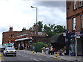
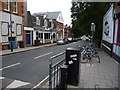
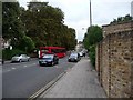
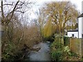
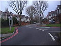

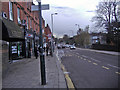
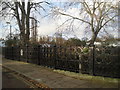
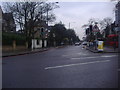

82 photos from this area
Area Information
Key information about the TW1 1LA including its size, population, and administrative classification.
- Area Type
- Postcode
- Area Size
- 3976 m²
- Population
- 1568
- Population Density
- 11807 people/km²
House Prices in TW1 1LA
12
Properties
£631,364
Average Sold Price
£186,000
Lowest Price
£1,407,000
Highest Price
Showing 12 properties
| Address | Type | Beds | Baths | Last Sale Price | Last Sale Date | |
|---|---|---|---|---|---|---|
| 91 Winchester Road, Twickenham, TW1 1LA | house | - | - | £1,075,000 | Nov 2020 | |
| 83 Winchester Road, Twickenham, TW1 1LA | Semi-detached | 4 | 2 | £1,150,000 | Mar 2019 | |
| 79 Winchester Road, Twickenham, TW1 1LA | house | 4 | 2 | £1,407,000 | Jul 2017 | |
| 99 Winchester Road, Twickenham, TW1 1LA | house | 3 | - | £637,500 | Jul 2010 | |
| 81 Winchester Road, Twickenham, TW1 1LA | house | - | - | £470,000 | Feb 2009 | |
| 95 Winchester Road, Twickenham, TW1 1LA | Semi-detached | 4 | 2 | £711,500 | Jun 2007 | |
| 93 Winchester Road, Twickenham, TW1 1LA | Semi-detached | - | - | £540,000 | Sep 2006 | |
| 97 Winchester Road, Twickenham, TW1 1LA | Semi-detached | - | - | £265,000 | Aug 1999 | |
| 85 Winchester Road, Twickenham, TW1 1LA | Semi-detached | 3 | 1 | £296,000 | Sep 1998 | |
| 101 Winchester Road, Twickenham, TW1 1LA | Semi-detached | - | - | £207,000 | Jan 1998 |
Page 1 of 2
Energy Efficiency in TW1 1LA
Amenities
Schools
| Rank | School | Type | Entry gender | Ages |
|---|
Explore more schools in this area
Go to Schools tabDemographics
Household Size
Family (3-5 people)
most common
Accommodation Type
Houses
most common
Tenure
64
majority
Ethnic Group
White
most common
Religion
N/A
most common
Household Composition
N/A
most common
Age
47
median
Adults (30-64 years)
most common
Household Deprivation
N/A
with no deprivation
NS-SEC
66
in Lower managerial occupations
Explore more demographic insights in this area
Go to Demographics tabPlanning
Planning Constraints
- Flood RiskPremium
- Ramsar Wetland SitesPremium
- Area of Outstanding Natural BeautyPremium
- Protected Nature ReservePremium
- Protected WoodlandPremium