Area Overview for TW1 1BZ
Photos of TW1 1BZ
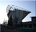
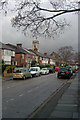
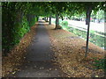
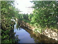
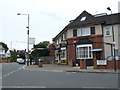
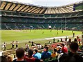
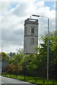
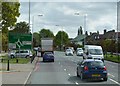

67 photos from this area
Area Information
Key information about the TW1 1BZ including its size, population, and administrative classification.
- Area Type
- Postcode
- Area Size
- 7681 m²
- Population
- 2100
- Population Density
- 4908 people/km²
House Prices in TW1 1BZ
35
Properties
£479,311
Average Sold Price
£110,000
Lowest Price
£770,000
Highest Price
Showing 35 properties
| Address | Type | Beds | Baths | Last Sale Price | Last Sale Date | |
|---|---|---|---|---|---|---|
| 95A WHITTON ROAD, Twickenham, TW1 1BZ | Flat | 2 | 1 | £440,000 | May 2023 | |
| 91 Whitton Road, Twickenham, TW1 1BZ | Terraced | 3 | 2 | £770,000 | Jun 2022 | |
| 93A Whitton Road, Twickenham, TW1 1BZ | Terraced | 4 | 2 | £577,800 | Jul 2020 | |
| 115 Whitton Road, Twickenham, TW1 1BZ | Semi-detached | 3 | 2 | £670,000 | Dec 2013 | |
| 109 Whitton Road, Twickenham, TW1 1BZ | house | 5 | - | £735,000 | Aug 2013 | |
| 119 Whitton Road, Twickenham, TW1 1BZ | Semi-detached | - | - | £540,000 | Dec 2006 | |
| 87 Whitton Road, Twickenham, TW1 1BZ | Terraced | 4 | 2 | £285,000 | Mar 2003 | |
| 89 Whitton Road, Twickenham, TW1 1BZ | Terraced | - | - | £186,000 | Mar 1999 | |
| 99D Whitton Road, Twickenham, TW1 1BZ | Flat | - | - | £110,000 | Dec 1996 | |
| 113A Whitton Road, Twickenham, TW1 1BZ | Maisonette | 2 | 1 | - | - |
Page 1 of 4
Energy Efficiency in TW1 1BZ
Amenities
Schools
| Rank | School | Type | Entry gender | Ages |
|---|
Explore more schools in this area
Go to Schools tabDemographics
Household Size
Family (3-5 people)
most common
Accommodation Type
Houses
most common
Tenure
71
majority
Ethnic Group
White
most common
Religion
N/A
most common
Household Composition
N/A
most common
Age
47
median
Adults (30-64 years)
most common
Household Deprivation
N/A
with no deprivation
NS-SEC
62
in Lower managerial occupations
Explore more demographic insights in this area
Go to Demographics tabPlanning
Planning Constraints
- Flood RiskPremium
- Ramsar Wetland SitesPremium
- Area of Outstanding Natural BeautyPremium
- Protected Nature ReservePremium
- Protected WoodlandPremium