Area Overview for SW6 7HR
Photos of SW6 7HR
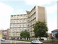
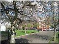
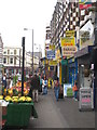
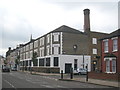
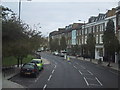
100 photos from this area
Area Information
Key information about the SW6 7HR including its size, population, and administrative classification.
- Area Type
- Postcode
- Area Size
- 1310 m²
- Population
- 1644
- Population Density
- 20863 people/km²
House Prices in SW6 7HR
10
Properties
£490,417
Average Sold Price
£237,500
Lowest Price
£995,000
Highest Price
Showing 10 properties
| Address | Type | Beds | Baths | Last Sale Price | Last Sale Date | |
|---|---|---|---|---|---|---|
| 84 Rylston Road, London, SW6 7HR | Terraced | 3 | 2 | £995,000 | Aug 2013 | |
| 86 Rylston Road, London, SW6 7HR | Terraced | - | - | £474,000 | Dec 2005 | |
| 70 Rylston Road, London, SW6 7HR | Terraced | - | - | £371,000 | Mar 2005 | |
| 78 Rylston Road, London, SW6 7HR | house | - | - | £525,000 | Sep 2002 | |
| 76 Rylston Road, London, SW6 7HR | house | - | - | £340,000 | Aug 1999 | |
| 74 Rylston Road, London, SW6 7HR | house | 4 | 2 | £237,500 | Jul 1996 | |
| 72 Rylston Road, London, SW6 7HR | house | 4 | - | - | - | |
| 82 Rylston Road, London, SW6 7HR | house | - | - | - | - | |
| Top Floor, 80 Rylston Road, London, SW6 7HR | Flat | - | - | - | - | |
| Ground Floor, 80 Rylston Road, London, SW6 7HR | Flat | - | - | - | - |
Energy Efficiency in SW6 7HR
Amenities
Schools
| Rank | School | Type | Entry gender | Ages |
|---|
Explore more schools in this area
Go to Schools tabDemographics
Household Size
Two person
most common
Accommodation Type
Flats
most common
Tenure
44
majority
Ethnic Group
White
most common
Religion
N/A
most common
Household Composition
N/A
most common
Age
47
median
Adults (30-64 years)
most common
Household Deprivation
N/A
with no deprivation
NS-SEC
59
in Lower managerial occupations
Explore more demographic insights in this area
Go to Demographics tabPlanning
Planning Constraints
- Flood RiskPremium
- Ramsar Wetland SitesPremium
- Area of Outstanding Natural BeautyPremium
- Protected Nature ReservePremium
- Protected WoodlandPremium