Area Overview for SW6 7HP
Photos of SW6 7HP
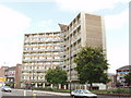
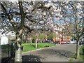
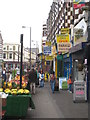
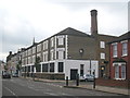
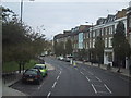
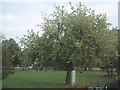

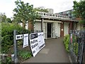
100 photos from this area
Area Information
Key information about the SW6 7HP including its size, population, and administrative classification.
- Area Type
- Postcode
- Area Size
- 4082 m²
- Population
- 1644
- Population Density
- 20863 people/km²
House Prices in SW6 7HP
41
Properties
£905,833
Average Sold Price
£485,000
Lowest Price
£1,377,500
Highest Price
Showing 41 properties
| Address | Type | Beds | Baths | Last Sale Price | Last Sale Date | |
|---|---|---|---|---|---|---|
| 115 Rylston Road, London, SW6 7HP | Terraced | 5 | 3 | £1,377,500 | Aug 2022 | |
| 111 Rylston Road, London, SW6 7HP | house | - | - | £1,260,000 | Mar 2021 | |
| 101 Rylston Road, London, SW6 7HP | Terraced | 4 | 2 | £1,255,000 | Aug 2019 | |
| 113 Rylston Road, London, SW6 7HP | Terraced | 4 | 3 | £1,240,000 | Dec 2015 | |
| 129 Rylston Road, London, SW6 7HP | Terraced | 4 | 2 | £1,200,000 | Jun 2015 | |
| 127 Rylston Road, London, SW6 7HP | house | 4 | - | £685,000 | May 2010 | |
| 119 Rylston Road, London, SW6 7HP | Terraced | 5 | 2 | £770,000 | Dec 2009 | |
| 121 Rylston Road, London, SW6 7HP | house | - | - | £740,000 | Aug 2009 | |
| 137 Rylston Road, London, SW6 7HP | Terraced | - | - | £765,000 | Mar 2007 | |
| 123 Rylston Road, London, SW6 7HP | Terraced | - | - | £575,000 | Jul 2006 |
Page 1 of 5
Energy Efficiency in SW6 7HP
Amenities
Schools
| Rank | School | Type | Entry gender | Ages |
|---|
Explore more schools in this area
Go to Schools tabDemographics
Household Size
Two person
most common
Accommodation Type
Flats
most common
Tenure
44
majority
Ethnic Group
White
most common
Religion
N/A
most common
Household Composition
N/A
most common
Age
47
median
Adults (30-64 years)
most common
Household Deprivation
N/A
with no deprivation
NS-SEC
59
in Lower managerial occupations
Explore more demographic insights in this area
Go to Demographics tabPlanning
Planning Constraints
- Flood RiskPremium
- Ramsar Wetland SitesPremium
- Area of Outstanding Natural BeautyPremium
- Protected Nature ReservePremium
- Protected WoodlandPremium