Area Overview for SW6 3SS
Photos of SW6 3SS
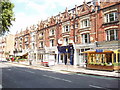

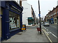
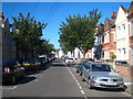
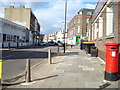
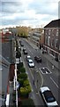
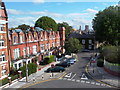
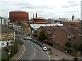

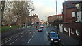
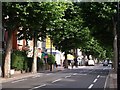
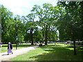
100 photos from this area
Area Information
Key information about the SW6 3SS including its size, population, and administrative classification.
- Area Type
- Postcode
- Area Size
- 6780 m²
- Population
- 1545
- Population Density
- 15701 people/km²
House Prices in SW6 3SS
43
Properties
£2,783,544
Average Sold Price
£485,000
Lowest Price
£4,850,000
Highest Price
Showing 43 properties
| Address | Type | Beds | Baths | Last Sale Price | Last Sale Date | |
|---|---|---|---|---|---|---|
| 14 Chipstead Street, London, SW6 3SS | house | 6 | - | £4,850,000 | Oct 2025 | |
| 12 Chipstead Street, London, SW6 3SS | Terraced | 3 | 2 | £3,700,000 | Dec 2024 | |
| 18 Chipstead Street, London, SW6 3SS | house | - | - | £4,750,000 | Jul 2024 | |
| 52 Chipstead Street, London, SW6 3SS | house | 6 | - | £4,500,000 | Oct 2023 | |
| 34 Chipstead Street, London, SW6 3SS | Terraced | 5 | 3 | £3,325,000 | Jul 2022 | |
| 24 Chipstead Street, London, SW6 3SS | house | - | - | £4,375,000 | Jun 2021 | |
| 2 Chipstead Street, London, SW6 3SS | house | 5 | - | £3,850,000 | Jul 2020 | |
| 22 Chipstead Street, London, SW6 3SS | Terraced | 6 | 5 | £4,100,000 | May 2020 | |
| 28 Chipstead Street, London, SW6 3SS | Detached | 5 | 3 | £2,800,000 | Jan 2020 | |
| 46 Chipstead Street, London, SW6 3SS | house | - | - | £3,600,000 | Oct 2019 |
Page 1 of 5
Energy Efficiency in SW6 3SS
Amenities
Schools
| Rank | School | Type | Entry gender | Ages |
|---|
Explore more schools in this area
Go to Schools tabDemographics
Household Size
Family (3-5 people)
most common
Accommodation Type
Flats
most common
Tenure
58
majority
Ethnic Group
White
most common
Religion
N/A
most common
Household Composition
N/A
most common
Age
47
median
Adults (30-64 years)
most common
Household Deprivation
N/A
with no deprivation
NS-SEC
63
in Lower managerial occupations
Explore more demographic insights in this area
Go to Demographics tabPlanning
Planning Constraints
- Flood RiskPremium
- Ramsar Wetland SitesPremium
- Area of Outstanding Natural BeautyPremium
- Protected Nature ReservePremium
- Protected WoodlandPremium